Distance to Robertson County, Tennessee

Calculating Your Route
Just a moment while we process your request...
Location Information
-
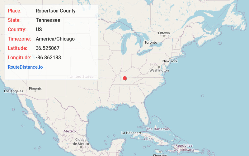
Full AddressRobertson County, TN
-
Coordinates36.5250666, -86.8621827
-
LocationTennessee , US
-
TimezoneAmerica/Chicago
-
Current Local Time9:04:46 AM America/ChicagoThursday, June 5, 2025
-
Page Views0
About Robertson County
Robertson County is a county located on the central northern border of Tennessee in the United States. As of the 2020 United States census, the population was 72,803. Its seat of government is Springfield.


Nearby Places
Found 10 places within 50 miles

Springfield
1.7 mi
2.7 km
Springfield, TN 37172
Get directions

Mt Denson
1.9 mi
3.1 km
Mt Denson, Springfield, TN 37172
Get directions
Lakeview
3.6 mi
5.8 km
Lakeview, TN 37172
Get directions
Courtland
3.9 mi
6.3 km
Courtland, Springfield, TN 37172
Get directions
Hubertville
4.0 mi
6.4 km
Hubertville, TN 37172
Get directions
Youngville
4.6 mi
7.4 km
Youngville, TN 37172
Get directions
Ashburn
6.9 mi
11.1 km
Ashburn, TN 37172
Get directions
Glover Crossroad
7.0 mi
11.3 km
Glover Crossroad, TN 37172
Get directions

Milldale
7.1 mi
11.4 km
Milldale, TN 37172
Get directions

Greenbrier
7.5 mi
12.1 km
Greenbrier, TN 37073
Get directions
Location Links
Local Weather
Weather Information
Coming soon!
Location Map
Static map view of Robertson County, Tennessee
Browse Places by Distance
Places within specific distances from Robertson County
Short Distances
Long Distances
Click any distance to see all places within that range from Robertson County. Distances shown in miles (1 mile ≈ 1.61 kilometers).