Distance to Rochford, South Dakota

Calculating Your Route
Just a moment while we process your request...
Location Information
-
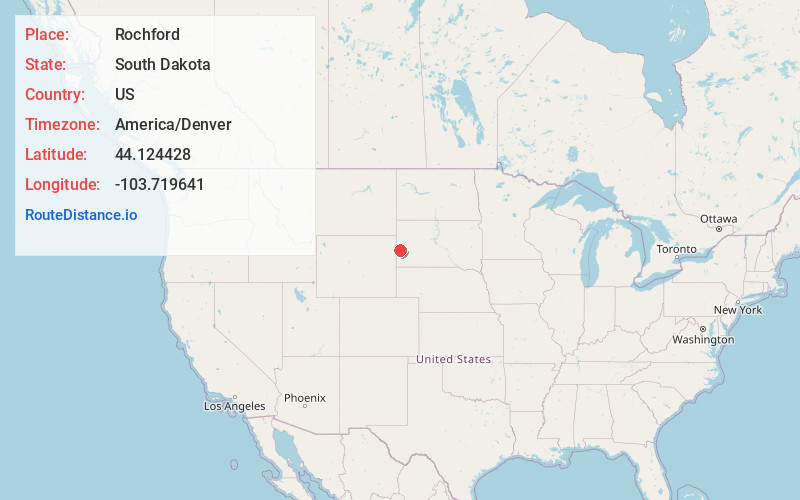
Full AddressRochford, SD 57745
-
Coordinates44.124428, -103.7196407
-
LocationRochford , South Dakota , US
-
TimezoneAmerica/Denver
-
Current Local Time8:25:20 PM America/DenverThursday, June 5, 2025
-
Page Views0
About Rochford
Rochford is an unincorporated community in Pennington County, South Dakota, United States. It is not tracked by the U.S. Census Bureau.


Nearby Places
Found 10 places within 50 miles

Myersville
1.7 mi
2.7 km
Myersville, West Pennington, SD 57745
Get directions
Nahant
4.0 mi
6.4 km
Nahant, SD 57754
Get directions

Merritt
7.6 mi
12.2 km
Merritt, South Lawrence, SD 57759
Get directions

Silver City
8.2 mi
13.2 km
Silver City, SD 57702
Get directions
Dumont
8.8 mi
14.2 km
Dumont, SD 57754
Get directions
Redfern
9.2 mi
14.8 km
Redfern, West Pennington, SD 57745
Get directions
Deerfield
9.3 mi
15.0 km
Deerfield, West Pennington, SD 57745
Get directions
Benchmark
9.9 mi
15.9 km
Benchmark, SD 57759
Get directions
Novak
10.5 mi
16.9 km
Novak, SD 57759
Get directions
Roubaix
10.8 mi
17.4 km
Roubaix, SD 57759
Get directions
Location Links
Local Weather
Weather Information
Coming soon!
Location Map
Static map view of Rochford, South Dakota
Browse Places by Distance
Places within specific distances from Rochford
Short Distances
Long Distances
Click any distance to see all places within that range from Rochford. Distances shown in miles (1 mile ≈ 1.61 kilometers).