Distance to Rock Island, Tennessee

Calculating Your Route
Just a moment while we process your request...
Location Information
-
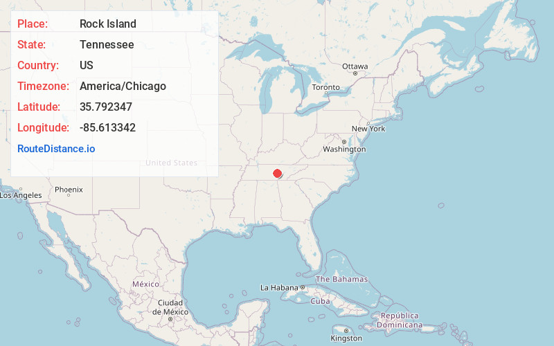
Full AddressRock Island, TN 38581
-
Coordinates35.7923472, -85.6133417
-
LocationRock Island , Tennessee , US
-
TimezoneAmerica/Chicago
-
Current Local Time4:05:59 PM America/ChicagoTuesday, June 24, 2025
-
Page Views0
About Rock Island
Rock Island is an unincorporated community in the northeasternmost portion of Warren County, Tennessee, United States. The town is named after an island on the Caney Fork River just below the confluence of the Rocky River. Rock Island is home to the Great Falls Dam and Rock Island State Park.


Nearby Places
Found 10 places within 50 miles

Walling
1.4 mi
2.3 km
Walling, TN
Get directions
Campaign
1.7 mi
2.7 km
Campaign, TN 38581
Get directions

Bone Cave
2.0 mi
3.2 km
Bone Cave, TN 38581
Get directions
Joppa
2.5 mi
4.0 km
Joppa, TN 38587
Get directions
McElroy
2.8 mi
4.5 km
McElroy, TN 38581
Get directions
Quebeck
3.1 mi
5.0 km
Quebeck, TN 38579
Get directions
Goodbars
3.6 mi
5.8 km
Goodbars, TN 38581
Get directions
Mt Pisgah
4.1 mi
6.6 km
Mt Pisgah, TN 38579
Get directions
Cambridge
4.6 mi
7.4 km
Cambridge, TN 37110
Get directions
Rowland
5.0 mi
8.0 km
Rowland, TN 38581
Get directions
Location Links
Local Weather
Weather Information
Coming soon!
Location Map
Static map view of Rock Island, Tennessee
Browse Places by Distance
Places within specific distances from Rock Island
Short Distances
Long Distances
Click any distance to see all places within that range from Rock Island. Distances shown in miles (1 mile ≈ 1.61 kilometers).