Distance to Rock Way, Ohio

Calculating Your Route
Just a moment while we process your request...
Location Information
-
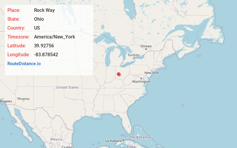
Full AddressRock Way, Springfield Township, OH 45504
-
Coordinates39.9275597, -83.8785417
-
LocationSpringfield Township , Ohio , US
-
TimezoneAmerica/New_York
-
Current Local Time7:53:44 PM America/New_YorkThursday, June 19, 2025
-
Page Views0
Nearby Places
Found 10 places within 50 miles

Springfield
3.7 mi
6.0 km
Springfield, OH
Get directions

Beatty
3.8 mi
6.1 km
Beatty, Springfield Township, OH 45506
Get directions
Donnelsville
3.8 mi
6.1 km
Donnelsville, OH
Get directions
Lawrenceville
4.0 mi
6.4 km
Lawrenceville, OH
Get directions
Eagle City
4.1 mi
6.6 km
Eagle City, German Township, OH 45504
Get directions
Enon
4.6 mi
7.4 km
Enon, OH
Get directions
Green Meadows
5.3 mi
8.5 km
Green Meadows, OH 45323
Get directions

North Hampton
5.4 mi
8.7 km
North Hampton, OH
Get directions
Tremont City
6.2 mi
10.0 km
Tremont City, OH
Get directions
Holiday Valley
6.9 mi
11.1 km
Holiday Valley, OH 45324
Get directions
Location Links
Local Weather
Weather Information
Coming soon!
Location Map
Static map view of Rock Way, Ohio
Browse Places by Distance
Places within specific distances from Rock Way
Short Distances
Long Distances
Click any distance to see all places within that range from Rock Way. Distances shown in miles (1 mile ≈ 1.61 kilometers).