Distance to Rockland, Kansas

Calculating Your Route
Just a moment while we process your request...
Location Information
-
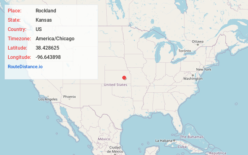
Full AddressRockland, Diamond Creek Township, KS 66869
-
Coordinates38.4286246, -96.6438979
-
LocationDiamond Creek Township , Kansas , US
-
TimezoneAmerica/Chicago
-
Current Local Time5:10:50 AM America/ChicagoWednesday, May 21, 2025
-
Page Views0
Nearby Places
Found 10 places within 50 miles

Neva
2.6 mi
4.2 km
Neva, Diamond Creek Township, KS 66850
Get directions
Elmdale
3.8 mi
6.1 km
Elmdale, KS 66850
Get directions
Hymer
4.7 mi
7.6 km
Hymer, Diamond Creek Township, KS 66850
Get directions

Strong City
6.2 mi
10.0 km
Strong City, KS 66869
Get directions

Cottonwood Falls
6.7 mi
10.8 km
Cottonwood Falls, KS
Get directions
Gladstone
10.0 mi
16.1 km
Gladstone, Falls Township, KS 66845
Get directions

Clements
10.3 mi
16.6 km
Clements, KS 66843
Get directions
Ellinor
11.9 mi
19.2 km
Ellinor, KS 66869
Get directions
Saffordville
13.7 mi
22.0 km
Saffordville, Toledo Township, KS 66869
Get directions
Burdick
14.4 mi
23.2 km
Burdick, KS 66838
Get directions
Location Links
Local Weather
Weather Information
Coming soon!
Location Map
Static map view of Rockland, Kansas
Browse Places by Distance
Places within specific distances from Rockland
Short Distances
Long Distances
Click any distance to see all places within that range from Rockland. Distances shown in miles (1 mile ≈ 1.61 kilometers).