Distance to Rockport, Massachusetts

Calculating Your Route
Just a moment while we process your request...
Location Information
-
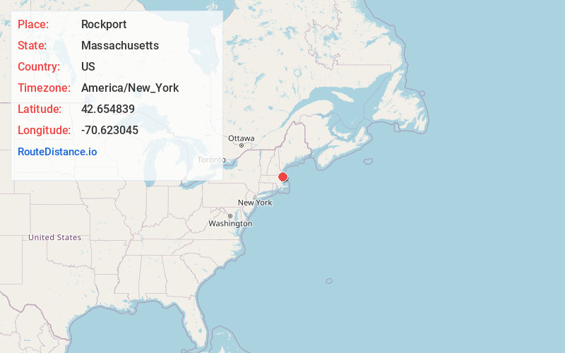
Full AddressRockport, MA
-
Coordinates42.6548394, -70.6230451
-
LocationRockport , Massachusetts , US
-
TimezoneAmerica/New_York
-
Current Local Time5:37:07 PM America/New_YorkWednesday, June 18, 2025
-
Website
-
Page Views0
About Rockport
Rockport is a seaside town in Essex County, Massachusetts, United States. The population was 6,992 in 2020. Rockport is located approximately 40 miles northeast of Boston, at the tip of the Cape Ann peninsula. Rockport borders Gloucester to its west, and is surrounded by the Atlantic Ocean in all other directions.


Nearby Places
Found 10 places within 50 miles

Gloucester
2.8 mi
4.5 km
Gloucester, MA
Get directions

Ipswich
11.0 mi
17.7 km
Ipswich, MA
Get directions

Hamilton
11.3 mi
18.2 km
Hamilton, MA
Get directions

Beverly
14.7 mi
23.7 km
Beverly, MA
Get directions

Marblehead
16.0 mi
25.7 km
Marblehead, MA
Get directions

Danvers
16.7 mi
26.9 km
Danvers, MA 01923
Get directions

Salem
16.7 mi
26.9 km
Salem, MA
Get directions

Newburyport
16.9 mi
27.2 km
Newburyport, MA
Get directions

Salisbury
17.7 mi
28.5 km
Salisbury, MA
Get directions

Peabody
17.9 mi
28.8 km
Peabody, MA 01960
Get directions
Location Links
Local Weather
Weather Information
Coming soon!
Location Map
Static map view of Rockport, Massachusetts
Browse Places by Distance
Places within specific distances from Rockport
Short Distances
Long Distances
Click any distance to see all places within that range from Rockport. Distances shown in miles (1 mile ≈ 1.61 kilometers).