Distance to Rockville, Alabama

Calculating Your Route
Just a moment while we process your request...
Location Information
-
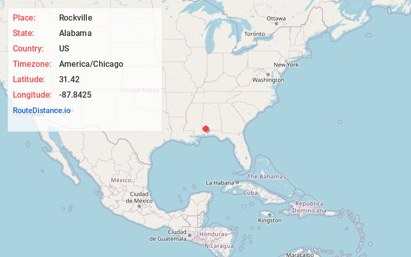
Full AddressRockville, AL 36545
-
Coordinates31.42, -87.8425
-
LocationRockville , Alabama , US
-
TimezoneAmerica/Chicago
-
Current Local Time10:36:52 AM America/ChicagoTuesday, June 3, 2025
-
Page Views0
About Rockville
Rockville is a census-designated place and in Clarke County, Alabama, United States. Its population was 47 as of the 2020 census.
Nearby Places
Found 10 places within 50 miles

Carlton
5.3 mi
8.5 km
Carlton, AL 36545
Get directions

Jackson
6.9 mi
11.1 km
Jackson, AL 36545
Get directions
Leroy
9.4 mi
15.1 km
Leroy, AL 36548
Get directions

St Stephens
15.2 mi
24.5 km
St Stephens, AL 36569
Get directions
McIntosh
15.4 mi
24.8 km
McIntosh, AL 36553
Get directions
Whatley
17.9 mi
28.8 km
Whatley, AL 36482
Get directions
Malcolm
18.6 mi
29.9 km
Malcolm, AL
Get directions
Hobson
18.7 mi
30.1 km
Hobson, AL 36518
Get directions

Grove Hill
20.3 mi
32.7 km
Grove Hill, AL
Get directions
Calvert
20.8 mi
33.5 km
Calvert, AL
Get directions
Location Links
Local Weather
Weather Information
Coming soon!
Location Map
Static map view of Rockville, Alabama
Browse Places by Distance
Places within specific distances from Rockville
Short Distances
Long Distances
Click any distance to see all places within that range from Rockville. Distances shown in miles (1 mile ≈ 1.61 kilometers).