Distance to Whatley, Alabama

Calculating Your Route
Just a moment while we process your request...
Location Information
-
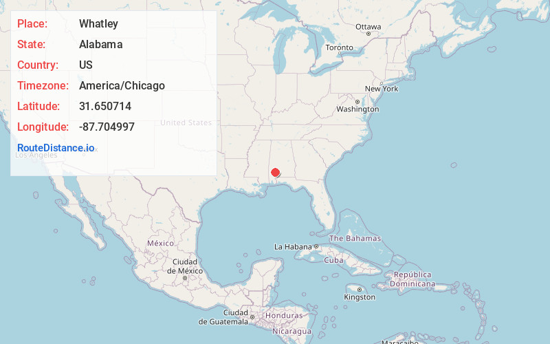
Full AddressWhatley, AL 36482
-
Coordinates31.6507136, -87.7049967
-
LocationWhatley , Alabama , US
-
TimezoneAmerica/Chicago
-
Current Local Time3:42:46 AM America/ChicagoThursday, June 19, 2025
-
Page Views0
About Whatley
Whatley is a census-designated place in Clarke County, Alabama, United States. As of the 2010 census, its population was 225. It is named in honor of Franklin Benjamin Whatley. It has one site on the National Register of Historic Places, the Whatley Historic District.
Nearby Places
Found 10 places within 50 miles

Grove Hill
5.8 mi
9.3 km
Grove Hill, AL
Get directions

Fulton
9.6 mi
15.4 km
Fulton, AL
Get directions

Jackson
14.8 mi
23.8 km
Jackson, AL 36545
Get directions

Thomasville
18.2 mi
29.3 km
Thomasville, AL
Get directions
Leroy
18.8 mi
30.3 km
Leroy, AL 36548
Get directions

St Stephens
22.0 mi
35.4 km
St Stephens, AL 36569
Get directions

Frisco City
23.3 mi
37.5 km
Frisco City, AL 36445
Get directions

Pine Hill
23.7 mi
38.1 km
Pine Hill, AL
Get directions
Coffeeville
23.8 mi
38.3 km
Coffeeville, AL 36524
Get directions

Monroeville
23.9 mi
38.5 km
Monroeville, AL 36460
Get directions
Location Links
Local Weather
Weather Information
Coming soon!
Location Map
Static map view of Whatley, Alabama
Browse Places by Distance
Places within specific distances from Whatley
Short Distances
Long Distances
Click any distance to see all places within that range from Whatley. Distances shown in miles (1 mile ≈ 1.61 kilometers).