Distance to Rocky Branch, Louisiana

Calculating Your Route
Just a moment while we process your request...
Location Information
-
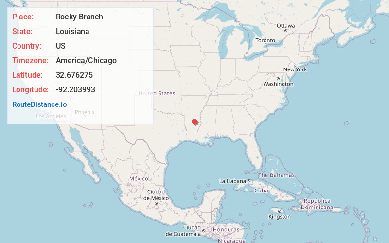
Full AddressRocky Branch, LA
-
Coordinates32.6762751, -92.2039933
-
LocationRocky Branch , Louisiana , US
-
TimezoneAmerica/Chicago
-
Current Local Time8:48:59 AM America/ChicagoTuesday, June 24, 2025
-
Page Views0
Nearby Places
Found 10 places within 50 miles

Sterlington
7.1 mi
11.4 km
Sterlington, LA
Get directions

Drew
9.3 mi
15.0 km
Drew, LA 71291
Get directions
North Monroe
10.6 mi
17.1 km
North Monroe, Monroe, LA 71203
Get directions
Cargas
11.1 mi
17.9 km
Cargas, LA 71280
Get directions

Claiborne
11.1 mi
17.9 km
Claiborne, LA 71291
Get directions

West Monroe
11.4 mi
18.3 km
West Monroe, LA
Get directions

Monroe
12.5 mi
20.1 km
Monroe, LA
Get directions

Downsville
12.7 mi
20.4 km
Downsville, LA 71234
Get directions

Brownsville-Bawcomville
13.1 mi
21.1 km
Brownsville-Bawcomville, LA 71292
Get directions
Canbeal
13.2 mi
21.2 km
Canbeal, LA 71241
Get directions
Location Links
Local Weather
Weather Information
Coming soon!
Location Map
Static map view of Rocky Branch, Louisiana
Browse Places by Distance
Places within specific distances from Rocky Branch
Short Distances
Long Distances
Click any distance to see all places within that range from Rocky Branch. Distances shown in miles (1 mile ≈ 1.61 kilometers).