Distance to Rocky Neck, Massachusetts

Calculating Your Route
Just a moment while we process your request...
Location Information
-
Full AddressRocky Neck, Hingham, MA 02043
-
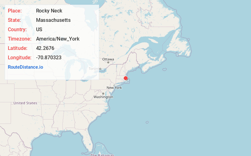
Coordinates42.2676, -70.870323
-
LocationHingham , Massachusetts , US
-
TimezoneAmerica/New_York
-
Current Local Time7:07:59 PM America/New_YorkSunday, June 1, 2025
-
Page Views0


Nearby Places
Found 10 places within 50 miles

Kenberma
1.1 mi
1.8 km
Kenberma, Hull, MA 02045
Get directions
Straits Pond
1.3 mi
2.1 km
Straits Pond, Hull, MA 02045
Get directions

Hingham
2.0 mi
3.2 km
Hingham, MA
Get directions
Bayside
2.3 mi
3.7 km
Bayside, Hull, MA 02045
Get directions

West Hingham
2.8 mi
4.5 km
West Hingham, Hingham, MA 02043
Get directions

Hull
3.1 mi
5.0 km
Hull, MA
Get directions

Cohasset
4.0 mi
6.4 km
Cohasset, MA
Get directions
Tuttleville
4.5 mi
7.2 km
Tuttleville, Hingham, MA 02043
Get directions
Weymouth Heights
4.6 mi
7.4 km
Weymouth Heights, Weymouth, MA 02189
Get directions

Weymouth
5.0 mi
8.0 km
Weymouth, MA
Get directions
Location Links
Local Weather
Weather Information
Coming soon!
Location Map
Static map view of Rocky Neck, Massachusetts
Browse Places by Distance
Places within specific distances from Rocky Neck
Short Distances
Long Distances
Click any distance to see all places within that range from Rocky Neck. Distances shown in miles (1 mile ≈ 1.61 kilometers).