Distance to Rocky Point, Oregon

Calculating Your Route
Just a moment while we process your request...
Location Information
-
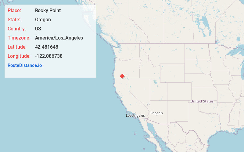
Full AddressRocky Point, OR 97601
-
Coordinates42.481648, -122.0867381
-
LocationRocky Point , Oregon , US
-
TimezoneAmerica/Los_Angeles
-
Current Local Time5:21:58 PM America/Los_AngelesWednesday, July 2, 2025
-
Page Views0
About Rocky Point
Rocky Point is a census-designated place in Klamath County, Oregon, United States. It is on Pelican Bay on the west shore of Upper Klamath Lake, about 29 miles northwest of Klamath Falls and about 3 miles north of Oregon Route 140 on Forest Highway 34. It is within the Winema National Forest.


Nearby Places
Found 10 places within 50 miles

Chiloquin
13.0 mi
20.9 km
Chiloquin, OR 97624
Get directions

Klamath Falls
23.6 mi
38.0 km
Klamath Falls, OR
Get directions

Butte Falls
24.8 mi
39.9 km
Butte Falls, OR
Get directions

Keno
25.9 mi
41.7 km
Keno, OR
Get directions

Altamont
26.1 mi
42.0 km
Altamont, OR 97603
Get directions

Prospect
27.8 mi
44.7 km
Prospect, OR 97536
Get directions
Falcon Heights
29.5 mi
47.5 km
Falcon Heights, OR 97603
Get directions

Eagle Point
36.5 mi
58.7 km
Eagle Point, OR 97524
Get directions

Dorris
36.6 mi
58.9 km
Dorris, CA 96023
Get directions

Ashland
37.5 mi
60.4 km
Ashland, OR 97520
Get directions
Location Links
Local Weather
Weather Information
Coming soon!
Location Map
Static map view of Rocky Point, Oregon
Browse Places by Distance
Places within specific distances from Rocky Point
Short Distances
Long Distances
Click any distance to see all places within that range from Rocky Point. Distances shown in miles (1 mile ≈ 1.61 kilometers).