Distance to Rodanthe, North Carolina

Calculating Your Route
Just a moment while we process your request...
Location Information
-
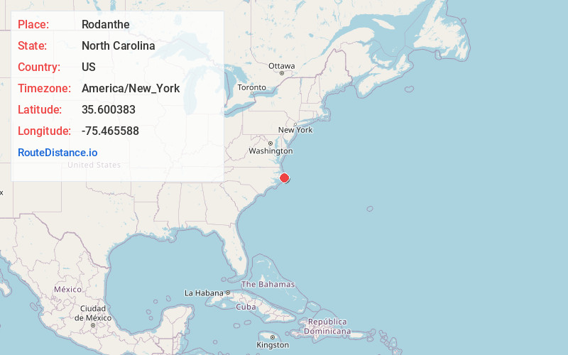
Full AddressRodanthe, NC 27968
-
Coordinates35.600383, -75.4655882
-
LocationRodanthe , North Carolina , US
-
TimezoneAmerica/New_York
-
Current Local Time5:56:53 PM America/New_YorkThursday, May 29, 2025
-
Page Views0
About Rodanthe
Rodanthe is an unincorporated community and census-designated place located in Dare County, North Carolina, United States, on Hatteras Island, part of North Carolina's Outer Banks. As of the 2020 census it had a population of 213. Rodanthe, along with Waves and Salvo, are part of the settlement of Chicamacomico.


Nearby Places
Found 10 places within 50 miles

Salvo
4.2 mi
6.8 km
Salvo, NC 27968
Get directions

Avon
17.3 mi
27.8 km
Avon, NC 27915
Get directions

Wanchese
19.3 mi
31.1 km
Wanchese, NC 27981
Get directions

Buxton
23.3 mi
37.5 km
Buxton, NC
Get directions

Manteo
24.3 mi
39.1 km
Manteo, NC 27954
Get directions

Manns Harbor
25.8 mi
41.5 km
Manns Harbor, NC 27953
Get directions

Nags Head
26.2 mi
42.2 km
Nags Head, NC 27959
Get directions

Frisco
26.9 mi
43.3 km
Frisco, NC
Get directions

Hatteras
29.2 mi
47.0 km
Hatteras, NC 27943
Get directions

Engelhard
30.5 mi
49.1 km
Engelhard, NC 27824
Get directions
Location Links
Local Weather
Weather Information
Coming soon!
Location Map
Static map view of Rodanthe, North Carolina
Browse Places by Distance
Places within specific distances from Rodanthe
Short Distances
Long Distances
Click any distance to see all places within that range from Rodanthe. Distances shown in miles (1 mile ≈ 1.61 kilometers).