Distance to Rodburn, Kentucky

Calculating Your Route
Just a moment while we process your request...
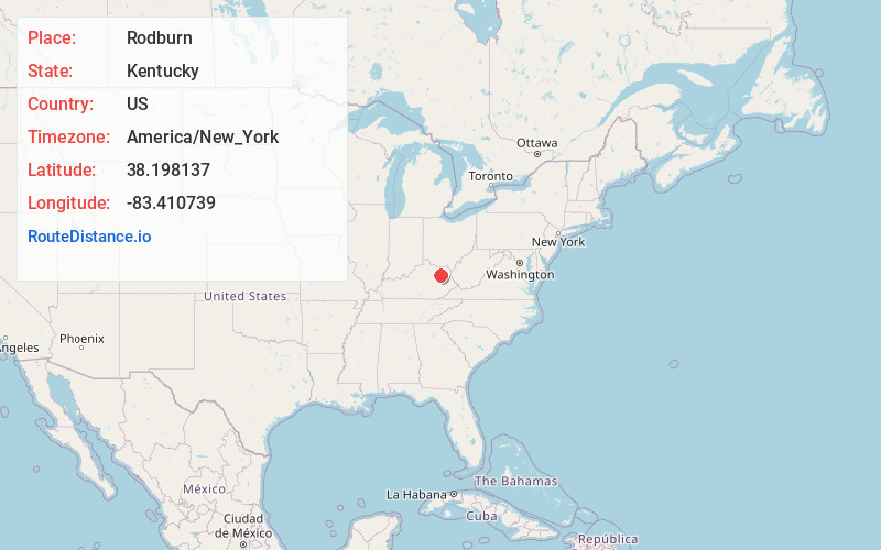
Location Information
-
Full AddressRodburn, Morehead, KY 40351
-
Coordinates38.198137, -83.410739
-
LocationMorehead , Kentucky , US
-
TimezoneAmerica/New_York
-
Current Local Time11:11:40 PM America/New_YorkThursday, June 5, 2025
-
Page Views0
Nearby Places
Found 10 places within 50 miles

Morehead
2.0 mi
3.2 km
Morehead, KY 40351
Get directions

Hilda
5.9 mi
9.5 km
Hilda, KY 40351
Get directions
Lakeview Heights
6.0 mi
9.7 km
Lakeview Heights, KY 40351
Get directions
Elliottville
7.4 mi
11.9 km
Elliottville, KY 40317
Get directions
Cogswell
8.1 mi
13.0 km
Cogswell, KY 40313
Get directions
Farmers
8.3 mi
13.4 km
Farmers, KY 40351
Get directions
Sharkey
8.4 mi
13.5 km
Sharkey, KY 41049
Get directions
Colfax
12.2 mi
19.6 km
Colfax, KY 41049
Get directions

Salt Lick
12.3 mi
19.8 km
Salt Lick, KY 40371
Get directions
Ryan
12.5 mi
20.1 km
Ryan, KY 41093
Get directions
Location Links
Local Weather
Weather Information
Coming soon!
Location Map
Static map view of Rodburn, Kentucky
Browse Places by Distance
Places within specific distances from Rodburn
Short Distances
Long Distances
Click any distance to see all places within that range from Rodburn. Distances shown in miles (1 mile ≈ 1.61 kilometers).