Distance to Roddy, Georgia

Calculating Your Route
Just a moment while we process your request...
Location Information
-
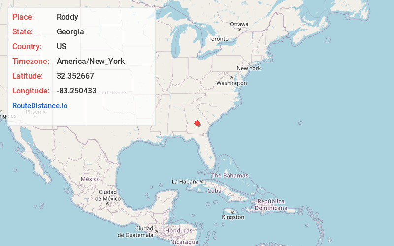
Full AddressRoddy, GA 31014
-
Coordinates32.3526673, -83.2504332
-
LocationGeorgia , US
-
TimezoneAmerica/New_York
-
Current Local Time1:16:31 PM America/New_YorkFriday, May 30, 2025
-
Page Views0
Nearby Places
Found 10 places within 50 miles

Yonkers
2.2 mi
3.5 km
Yonkers, GA 31014
Get directions
Empire
2.8 mi
4.5 km
Empire, GA 31014
Get directions
Frazier
3.1 mi
5.0 km
Frazier, Empire, GA 31014
Get directions
Dubois
3.6 mi
5.8 km
Dubois, GA 31014
Get directions
Gresston
4.6 mi
7.4 km
Gresston, GA 31023
Get directions
Chester
6.4 mi
10.3 km
Chester, GA 31012
Get directions

Cochran
6.5 mi
10.5 km
Cochran, GA 31014
Get directions
Bryant
6.8 mi
10.9 km
Bryant, GA 31012
Get directions
Rowland
7.5 mi
12.1 km
Rowland, GA 31012
Get directions
Goldsboro
8.4 mi
13.5 km
Goldsboro, GA 31065
Get directions
Location Links
Local Weather
Weather Information
Coming soon!
Location Map
Static map view of Roddy, Georgia
Browse Places by Distance
Places within specific distances from Roddy
Short Distances
Long Distances
Click any distance to see all places within that range from Roddy. Distances shown in miles (1 mile ≈ 1.61 kilometers).