Distance to Roeton, Alabama

Calculating Your Route
Just a moment while we process your request...
Location Information
-
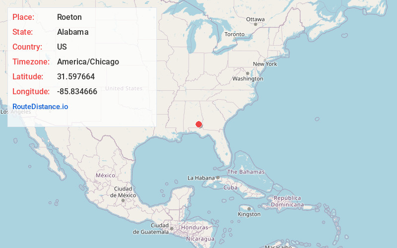
Full AddressRoeton, AL 36010
-
Coordinates31.5976641, -85.8346655
-
LocationAlabama , US
-
TimezoneAmerica/Chicago
-
Current Local Time4:44:09 PM America/ChicagoTuesday, June 24, 2025
-
Page Views0
Nearby Places
Found 10 places within 50 miles

Ariton
6.8 mi
10.9 km
Ariton, AL 36311
Get directions

Victoria
7.7 mi
12.4 km
Victoria, AL 36346
Get directions

Brundidge
8.5 mi
13.7 km
Brundidge, AL
Get directions
Lowry Mill
9.6 mi
15.4 km
Lowry Mill, AL 36346
Get directions
Wilkinstown
9.6 mi
15.4 km
Wilkinstown, AL 36079
Get directions
Doster
10.1 mi
16.3 km
Doster, AL 36311
Get directions
Tabernacle
10.3 mi
16.6 km
Tabernacle, AL 36351
Get directions
Richland
11.3 mi
18.2 km
Richland, AL 36010
Get directions
Shady Grove
13.0 mi
20.9 km
Shady Grove, AL 36323
Get directions
Sanders Hill
14.0 mi
22.5 km
Sanders Hill, AL 36035
Get directions
Location Links
Local Weather
Weather Information
Coming soon!
Location Map
Static map view of Roeton, Alabama
Browse Places by Distance
Places within specific distances from Roeton
Short Distances
Long Distances
Click any distance to see all places within that range from Roeton. Distances shown in miles (1 mile ≈ 1.61 kilometers).