Distance to Roetown, Virginia

Calculating Your Route
Just a moment while we process your request...
Location Information
-
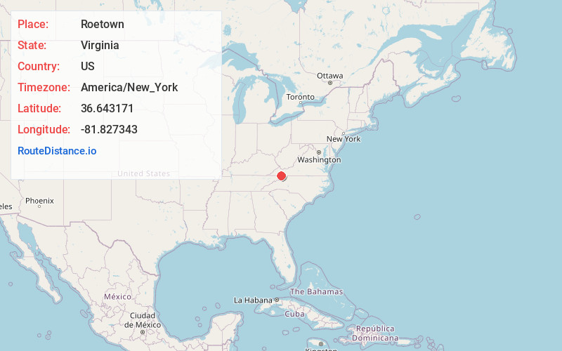
Full AddressRoetown, VA 24236
-
Coordinates36.6431707, -81.8273429
-
LocationVirginia , US
-
TimezoneAmerica/New_York
-
Current Local Time11:57:00 AM America/New_YorkThursday, June 19, 2025
-
Page Views0
Nearby Places
Found 10 places within 50 miles

Vails Mill
0.9 mi
1.4 km
Vails Mill, VA 24236
Get directions
Drowning Ford
0.9 mi
1.4 km
Drowning Ford, VA 24236
Get directions
Delmar
1.8 mi
2.9 km
Delmar, VA 24236
Get directions

Damascus
2.5 mi
4.0 km
Damascus, VA 24236
Get directions
Osceola
2.8 mi
4.5 km
Osceola, VA 24211
Get directions
Sutherland
2.9 mi
4.7 km
Sutherland, TN 37688
Get directions
Laureldale
3.9 mi
6.3 km
Laureldale, VA 24236
Get directions
Neff
5.0 mi
8.0 km
Neff, VA 24361
Get directions
Mock Mill
5.1 mi
8.2 km
Mock Mill, VA 24361
Get directions
Offset
5.7 mi
9.2 km
Offset, TN 37620
Get directions
Location Links
Local Weather
Weather Information
Coming soon!
Location Map
Static map view of Roetown, Virginia
Browse Places by Distance
Places within specific distances from Roetown
Short Distances
Long Distances
Click any distance to see all places within that range from Roetown. Distances shown in miles (1 mile ≈ 1.61 kilometers).