Distance to Rolla, Colorado

Calculating Your Route
Just a moment while we process your request...
Location Information
-
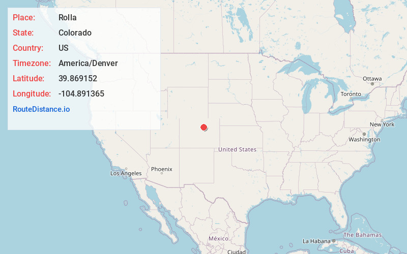
Full AddressRolla, Commerce City, CO 80640
-
Coordinates39.8691523, -104.8913653
-
LocationCommerce City , Colorado , US
-
TimezoneAmerica/Denver
-
Current Local Time3:48:46 AM America/DenverThursday, June 19, 2025
-
Page Views0

Nearby Places
Found 10 places within 50 miles

Hazeltine Heights
1.1 mi
1.8 km
Hazeltine Heights, Commerce City, CO 80640
Get directions

Derby
2.5 mi
4.0 km
Derby, CO 80022
Get directions

Welby
4.1 mi
6.6 km
Welby, CO
Get directions

Thornton
4.3 mi
6.9 km
Thornton, CO
Get directions

Commerce City
4.8 mi
7.7 km
Commerce City, CO
Get directions

Northglenn
5.1 mi
8.2 km
Northglenn, CO
Get directions
Sherrelwood
6.2 mi
10.0 km
Sherrelwood, CO
Get directions

North Washington
6.3 mi
10.1 km
North Washington, CO
Get directions

Federal Heights
6.6 mi
10.6 km
Federal Heights, CO
Get directions

Todd Creek
7.6 mi
12.2 km
Todd Creek, CO
Get directions
Location Links
Local Weather
Weather Information
Coming soon!
Location Map
Static map view of Rolla, Colorado
Browse Places by Distance
Places within specific distances from Rolla
Short Distances
Long Distances
Click any distance to see all places within that range from Rolla. Distances shown in miles (1 mile ≈ 1.61 kilometers).