Distance to Rolston, Georgia

Calculating Your Route
Just a moment while we process your request...
Location Information
-
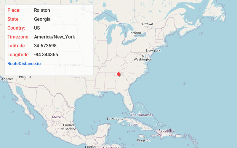
Full AddressRolston, GA 30536
-
Coordinates34.673698, -84.3443654
-
LocationGeorgia , US
-
TimezoneAmerica/New_York
-
Current Local Time3:19:55 PM America/New_YorkMonday, June 2, 2025
-
Page Views0
Nearby Places
Found 10 places within 50 miles

East Ellijay
7.3 mi
11.7 km
East Ellijay, GA
Get directions

Cherry Log
7.8 mi
12.6 km
Cherry Log, GA 30522
Get directions

Ellijay
8.0 mi
12.9 km
Ellijay, GA
Get directions

Blue Ridge
13.2 mi
21.2 km
Blue Ridge, GA 30513
Get directions

Talking Rock
14.6 mi
23.5 km
Talking Rock, GA 30175
Get directions

Jasper
14.9 mi
24.0 km
Jasper, GA
Get directions

Morganton
15.2 mi
24.5 km
Morganton, GA 30560
Get directions

Mineral Bluff
17.1 mi
27.5 km
Mineral Bluff, GA 30559
Get directions

Epworth
19.3 mi
31.1 km
Epworth, GA
Get directions

Nelson
20.2 mi
32.5 km
Nelson, GA
Get directions
Location Links
Local Weather
Weather Information
Coming soon!
Location Map
Static map view of Rolston, Georgia
Browse Places by Distance
Places within specific distances from Rolston
Short Distances
Long Distances
Click any distance to see all places within that range from Rolston. Distances shown in miles (1 mile ≈ 1.61 kilometers).