Distance to Epworth, Georgia

Calculating Your Route
Just a moment while we process your request...
Location Information
-
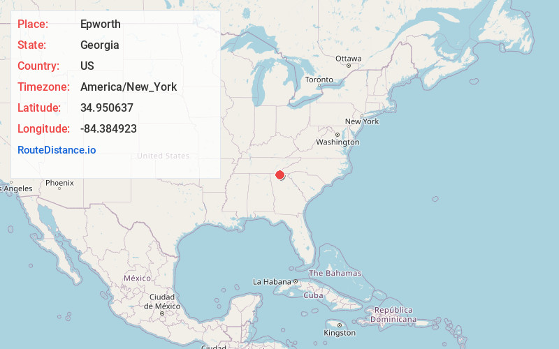
Full AddressEpworth, GA
-
Coordinates34.9506365, -84.3849232
-
LocationEpworth , Georgia , US
-
TimezoneAmerica/New_York
-
Current Local Time1:48:06 PM America/New_YorkWednesday, June 18, 2025
-
Page Views0
About Epworth
Epworth is an unincorporated community and census-designated place in Fannin County, Georgia, United States. As of the 2010 census it had a population of 480. It lies at an elevation of 1,703 feet in the north-central part of the county. A former name was Atalla. The ZIP code is 30541.


Nearby Places
Found 10 places within 50 miles

McCaysville
2.6 mi
4.2 km
McCaysville, GA
Get directions

Blue Ridge
6.9 mi
11.1 km
Blue Ridge, GA 30513
Get directions

Ellijay
18.5 mi
29.8 km
Ellijay, GA
Get directions

Benton
21.7 mi
34.9 km
Benton, TN 37307
Get directions

Murphy
22.0 mi
35.4 km
Murphy, NC 28906
Get directions

Eton
23.1 mi
37.2 km
Eton, GA 30705
Get directions

Delano
23.7 mi
38.1 km
Delano, TN
Get directions

Blairsville
24.7 mi
39.8 km
Blairsville, GA 30512
Get directions

Chatsworth
25.3 mi
40.7 km
Chatsworth, GA 30705
Get directions

Etowah
26.9 mi
43.3 km
Etowah, TN
Get directions
Location Links
Local Weather
Weather Information
Coming soon!
Location Map
Static map view of Epworth, Georgia
Browse Places by Distance
Places within specific distances from Epworth
Short Distances
Long Distances
Click any distance to see all places within that range from Epworth. Distances shown in miles (1 mile ≈ 1.61 kilometers).