Distance to Rombauer, Missouri

Calculating Your Route
Just a moment while we process your request...
Location Information
-
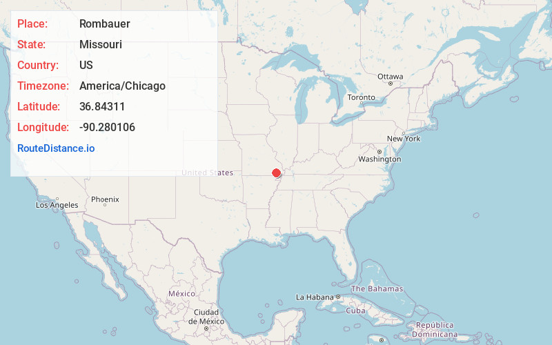
Full AddressRombauer, MO 63901
-
Coordinates36.8431097, -90.2801059
-
LocationRombauer , Missouri , US
-
TimezoneAmerica/Chicago
-
Current Local Time8:10:06 AM America/ChicagoMonday, June 23, 2025
-
Page Views0
About Rombauer
Rombauer is an unincorporated community in eastern Butler County, Missouri, United States. It is located approximately seven miles northeast of Poplar Bluff on the edge of the Mark Twain National Forest at an elevation of 335 feet.


Nearby Places
Found 10 places within 50 miles

Dale
3.3 mi
5.3 km
Dale, Duck Creek Township, MO 63960
Get directions
Barron
5.0 mi
8.0 km
Barron, Ash Hill Township, MO 63940
Get directions

Ash Hill
5.3 mi
8.5 km
Ash Hill, MO 63940
Get directions
Fisk
5.8 mi
9.3 km
Fisk, MO 63940
Get directions

Wappapello
6.4 mi
10.3 km
Wappapello, MO
Get directions
Ives
7.5 mi
12.1 km
Ives, Duck Creek Township, MO 63936
Get directions
Rossville
7.8 mi
12.6 km
Rossville, MO 63940
Get directions

Poplar Bluff
8.6 mi
13.8 km
Poplar Bluff, MO 63901
Get directions
Wilby
9.0 mi
14.5 km
Wilby, MO 63967
Get directions
Batesville
9.8 mi
15.8 km
Batesville, MO 63932
Get directions
Location Links
Local Weather
Weather Information
Coming soon!
Location Map
Static map view of Rombauer, Missouri
Browse Places by Distance
Places within specific distances from Rombauer
Short Distances
Long Distances
Click any distance to see all places within that range from Rombauer. Distances shown in miles (1 mile ≈ 1.61 kilometers).