Distance to Romeo, Colorado

Calculating Your Route
Just a moment while we process your request...
Location Information
-
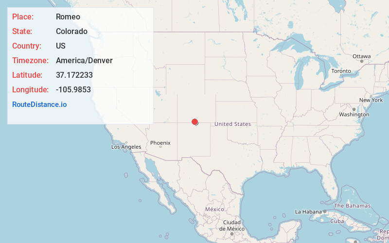
Full AddressRomeo, CO
-
Coordinates37.1722327, -105.9853004
-
LocationRomeo , Colorado , US
-
TimezoneAmerica/Denver
-
Current Local Time2:36:50 PM America/DenverWednesday, June 11, 2025
-
Page Views0
About Romeo
Romeo is a Statutory Town in Conejos County, Colorado, United States. The population was 302 at the 2020 census. A post office called Romeo was established in 1901. The community derives its name from the surname Romero.
Nearby Places
Found 10 places within 50 miles

Manassa
2.6 mi
4.2 km
Manassa, CO
Get directions

Antonito
6.6 mi
10.6 km
Antonito, CO 81120
Get directions

La Jara
7.2 mi
11.6 km
La Jara, CO 81140
Get directions

Sanford
7.4 mi
11.9 km
Sanford, CO 81151
Get directions

Alamosa
21.5 mi
34.6 km
Alamosa, CO 81101
Get directions
Alamosa East
21.9 mi
35.2 km
Alamosa East, CO 81101
Get directions

Costilla
28.5 mi
45.9 km
Costilla, NM
Get directions

Monte Vista
29.5 mi
47.5 km
Monte Vista, CO 81144
Get directions

San Luis
31.0 mi
49.9 km
San Luis, CO 81152
Get directions

Fort Garland
35.1 mi
56.5 km
Fort Garland, CO
Get directions
Location Links
Local Weather
Weather Information
Coming soon!
Location Map
Static map view of Romeo, Colorado
Browse Places by Distance
Places within specific distances from Romeo
Short Distances
Long Distances
Click any distance to see all places within that range from Romeo. Distances shown in miles (1 mile ≈ 1.61 kilometers).