Distance to Rosedale, Washington

Calculating Your Route
Just a moment while we process your request...
Location Information
-
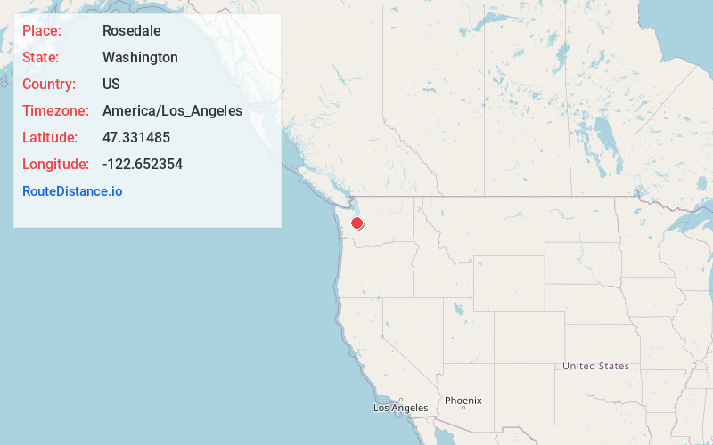
Full AddressRosedale, WA
-
Coordinates47.3314854, -122.652354
-
LocationRosedale , Washington , US
-
TimezoneAmerica/Los_Angeles
-
Current Local Time8:12:18 AM America/Los_AngelesTuesday, June 3, 2025
-
Page Views0
About Rosedale
Rosedale is a census-designated place located in Pierce County, Washington.
A post office called Rosedale was established in 1887, and remained in operation until 1918. The community was named for roses near the original town site.


Nearby Places
Found 10 places within 50 miles

Artondale
2.7 mi
4.3 km
Artondale, WA 98335
Get directions

Wauna
3.3 mi
5.3 km
Wauna, WA 98329
Get directions

Gig Harbor
3.4 mi
5.5 km
Gig Harbor, WA
Get directions

Wollochet
5.4 mi
8.7 km
Wollochet, WA 98335
Get directions
Maplewood
6.6 mi
10.6 km
Maplewood, WA 98332
Get directions

Fircrest
9.0 mi
14.5 km
Fircrest, WA 98466
Get directions

Tacoma
11.2 mi
18.0 km
Tacoma, WA
Get directions

Steilacoom
11.4 mi
18.3 km
Steilacoom, WA 98388
Get directions

Vashon
12.0 mi
19.3 km
Vashon, WA
Get directions

Lakewood
12.7 mi
20.4 km
Lakewood, WA
Get directions
Location Links
Local Weather
Weather Information
Coming soon!
Location Map
Static map view of Rosedale, Washington
Browse Places by Distance
Places within specific distances from Rosedale
Short Distances
Long Distances
Click any distance to see all places within that range from Rosedale. Distances shown in miles (1 mile ≈ 1.61 kilometers).