Distance to Rosedale, West Virginia

Calculating Your Route
Just a moment while we process your request...
Location Information
-
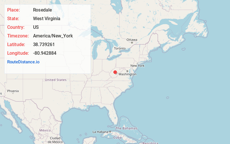
Full AddressRosedale, WV 26636
-
Coordinates38.7392606, -80.9428843
-
LocationRosedale , West Virginia , US
-
TimezoneAmerica/New_York
-
Current Local Time10:03:19 AM America/New_YorkThursday, June 19, 2025
-
Page Views0
About Rosedale
Rosedale is an unincorporated community in Braxton and Gilmer counties in the U.S. state of West Virginia. It lies along the Right Fork Steer Creek, at an elevation of 778 feet.
The community was named after wild rose bushes near the original town site.
Nearby Places
Found 10 places within 50 miles

Tague
3.0 mi
4.8 km
Tague, WV 26623
Get directions
Nicut
4.6 mi
7.4 km
Nicut, WV 26636
Get directions
Wilsie
4.8 mi
7.7 km
Wilsie, WV 26623
Get directions
Belfont
5.0 mi
8.0 km
Belfont, WV 26624
Get directions
Elmira
6.6 mi
10.6 km
Elmira, WV 25235
Get directions
Normantown
7.8 mi
12.6 km
Normantown, WV 25267
Get directions
Stumptown
8.1 mi
13.0 km
Stumptown, WV 25267
Get directions
Orma
8.5 mi
13.7 km
Orma, WV 25268
Get directions
Tate
8.7 mi
14.0 km
Tate, WV 26623
Get directions
Nebo
9.0 mi
14.5 km
Nebo, WV 25141
Get directions
Location Links
Local Weather
Weather Information
Coming soon!
Location Map
Static map view of Rosedale, West Virginia
Browse Places by Distance
Places within specific distances from Rosedale
Short Distances
Long Distances
Click any distance to see all places within that range from Rosedale. Distances shown in miles (1 mile ≈ 1.61 kilometers).