Distance to Stumptown, West Virginia

Calculating Your Route
Just a moment while we process your request...
Location Information
-
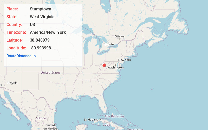
Full AddressStumptown, WV 25267
-
Coordinates38.8489788, -80.9939977
-
LocationStumptown , West Virginia , US
-
TimezoneAmerica/New_York
-
Current Local Time3:55:10 AM America/New_YorkThursday, June 19, 2025
-
Page Views0
About Stumptown
Stumptown is an unincorporated community in Gilmer County, West Virginia, United States, at the confluence of the left and right forks of Steer Creek. It was named for Michael Stump III, a pioneer settler. It lies at an elevation of 725 feet. The Stumptown Post Office opened May 29, 1883 and closed February 1, 1997.
Nearby Places
Found 10 places within 50 miles

Grantsville
7.5 mi
12.1 km
Grantsville, WV 26147
Get directions

Glenville
10.3 mi
16.6 km
Glenville, WV 26351
Get directions
Beech
11.3 mi
18.2 km
Beech, WV 25268
Get directions
Belfont
12.3 mi
19.8 km
Belfont, WV 26624
Get directions
Tristan
12.9 mi
20.8 km
Tristan, WV 25276
Get directions
Sand Fork
13.9 mi
22.4 km
Sand Fork, WV
Get directions

Gassaway
16.9 mi
27.2 km
Gassaway, WV 26624
Get directions
Troy
17.1 mi
27.5 km
Troy, WV 26384
Get directions

Burnsville
18.3 mi
29.5 km
Burnsville, WV
Get directions
Auburn
18.6 mi
29.9 km
Auburn, WV 26325
Get directions
Location Links
Local Weather
Weather Information
Coming soon!
Location Map
Static map view of Stumptown, West Virginia
Browse Places by Distance
Places within specific distances from Stumptown
Short Distances
Long Distances
Click any distance to see all places within that range from Stumptown. Distances shown in miles (1 mile ≈ 1.61 kilometers).