Distance to Rosedale, Colorado

Calculating Your Route
Just a moment while we process your request...
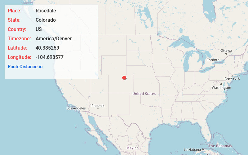
Location Information
-
Full AddressRosedale, Evans, CO 80620
-
Coordinates40.3852588, -104.6985765
-
LocationEvans , Colorado , US
-
TimezoneAmerica/Denver
-
Current Local Time4:47:07 PM America/DenverFriday, June 20, 2025
-
Page Views0
About Rosedale
Rosedale, Colorado is a former municipality in Weld County, Colorado, United States, now a part of the City of Greeley.
Nearby Places
Found 10 places within 50 miles

Evans
0.7 mi
1.1 km
Evans, CO
Get directions

Garden City
0.8 mi
1.3 km
Garden City, CO 80631
Get directions

Jackson Field
1.6 mi
2.6 km
Jackson Field, Greeley, CO 80639
Get directions

LaSalle
2.5 mi
4.0 km
LaSalle, CO 80645
Get directions

Greeley
2.7 mi
4.3 km
Greeley, CO
Get directions
Auburn
3.5 mi
5.6 km
Auburn, CO 80631
Get directions
Hambert
5.3 mi
8.5 km
Hambert, CO 80645
Get directions
Cloverly
6.2 mi
10.0 km
Cloverly, CO 80631
Get directions

Lucerne
6.7 mi
10.8 km
Lucerne, CO 80631
Get directions

Kersey
7.2 mi
11.6 km
Kersey, CO
Get directions
Location Links
Local Weather
Weather Information
Coming soon!
Location Map
Static map view of Rosedale, Colorado
Browse Places by Distance
Places within specific distances from Rosedale
Short Distances
Long Distances
Click any distance to see all places within that range from Rosedale. Distances shown in miles (1 mile ≈ 1.61 kilometers).