Distance to Rosewood, Missouri

Calculating Your Route
Just a moment while we process your request...
Location Information
-
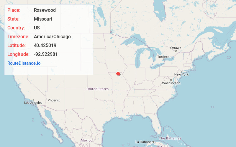
Full AddressRosewood, Richland Township, MO 63565
-
Coordinates40.4250193, -92.9229812
-
LocationRichland Township , Missouri , US
-
TimezoneAmerica/Chicago
-
Current Local Time4:21:34 AM America/ChicagoSunday, June 1, 2025
-
Page Views0
Nearby Places
Found 10 places within 50 miles

Pennville
4.5 mi
7.2 km
Pennville, MO 63545
Get directions
Unionville
5.5 mi
8.9 km
Unionville, MO 63565
Get directions
Lemons
6.7 mi
10.8 km
Lemons, MO 63565
Get directions
Graysville
7.7 mi
12.4 km
Graysville, MO 63565
Get directions
Howland
7.8 mi
12.6 km
Howland, Lincoln Township, MO 63565
Get directions
Pollock
9.7 mi
15.6 km
Pollock, MO 63560
Get directions
Lowground
10.5 mi
16.9 km
Lowground, MO 63559
Get directions

Green City
10.9 mi
17.5 km
Green City, MO 63545
Get directions
Greencastle
11.6 mi
18.7 km
Greencastle, MO 63544
Get directions
Stahl
11.6 mi
18.7 km
Stahl, MO 63544
Get directions
Location Links
Local Weather
Weather Information
Coming soon!
Location Map
Static map view of Rosewood, Missouri
Browse Places by Distance
Places within specific distances from Rosewood
Short Distances
Long Distances
Click any distance to see all places within that range from Rosewood. Distances shown in miles (1 mile ≈ 1.61 kilometers).