Distance to Rosewood, Indiana

Calculating Your Route
Just a moment while we process your request...
Location Information
-
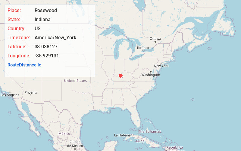
Full AddressRosewood, IN 47117
-
Coordinates38.0381269, -85.9291305
-
LocationRosewood , Indiana , US
-
TimezoneAmerica/New_York
-
Current Local Time4:18:13 AM America/New_YorkThursday, June 5, 2025
-
Page Views0
About Rosewood
Rosewood is an unincorporated community in Harrison County, Indiana, in the United States.
Nearby Places
Found 10 places within 50 miles

Katharyn
2.6 mi
4.2 km
Katharyn, KY 40177
Get directions

West Point
2.9 mi
4.7 km
West Point, KY 40177
Get directions
Howard
3.8 mi
6.1 km
Howard, West Point, KY 40177
Get directions

Elizabeth
6.2 mi
10.0 km
Elizabeth, IN 47117
Get directions
Muldraugh
7.8 mi
12.6 km
Muldraugh, KY
Get directions

Laconia
8.5 mi
13.7 km
Laconia, IN 47135
Get directions

Fort Knox
8.6 mi
13.8 km
Fort Knox, KY 40121
Get directions

Hollyvilla
10.7 mi
17.2 km
Hollyvilla, KY 40118
Get directions

New Middletown
10.9 mi
17.5 km
New Middletown, IN
Get directions

Brooks
11.4 mi
18.3 km
Brooks, KY
Get directions
Location Links
Local Weather
Weather Information
Coming soon!
Location Map
Static map view of Rosewood, Indiana
Browse Places by Distance
Places within specific distances from Rosewood
Short Distances
Long Distances
Click any distance to see all places within that range from Rosewood. Distances shown in miles (1 mile ≈ 1.61 kilometers).