Distance to Rosston, Arkansas

Calculating Your Route
Just a moment while we process your request...
Location Information
-
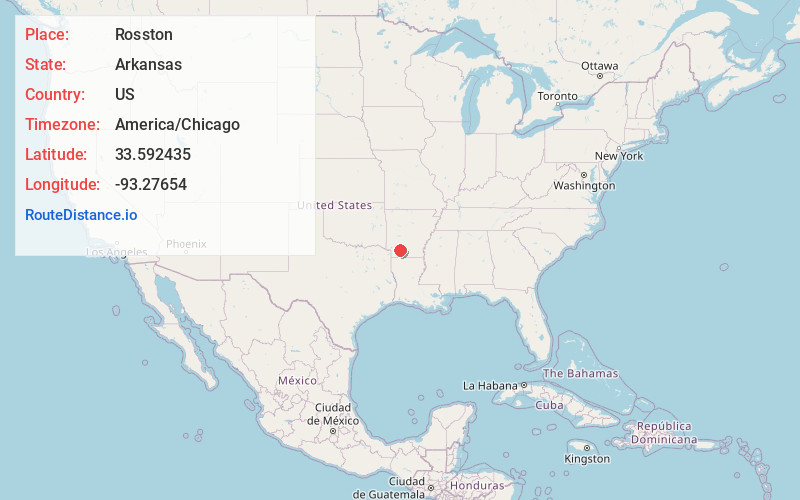
Full AddressRosston, AR 71858
-
Coordinates33.5924349, -93.2765395
-
LocationRosston , Arkansas , US
-
TimezoneAmerica/Chicago
-
Current Local Time4:01:56 PM America/ChicagoWednesday, June 18, 2025
-
Page Views0
About Rosston
Rosston is a town in south-central Nevada County, Arkansas, United States. The population was 265 at the 2000 census. It is part of the Hope Micropolitan Statistical Area.
Nearby Places
Found 10 places within 50 miles

Emmet
14.6 mi
23.5 km
Emmet, AR 71835
Get directions

Prescott
15.7 mi
25.3 km
Prescott, AR 71857
Get directions

Perrytown
16.3 mi
26.2 km
Perrytown, AR 71801
Get directions

Waldo
16.5 mi
26.6 km
Waldo, AR 71770
Get directions
McNeil
17.2 mi
27.7 km
McNeil, AR 71752
Get directions
Stephens
17.3 mi
27.8 km
Stephens, AR 71764
Get directions

Hope
19.2 mi
30.9 km
Hope, AR 71801
Get directions

Stamps
20.4 mi
32.8 km
Stamps, AR 71860
Get directions


Leaflet © OpenStreetMap contributors
Location Links
Local Weather
Weather Information
Coming soon!
Location Map
Static map view of Rosston, Arkansas
Browse Places by Distance
Places within specific distances from Rosston
Short Distances
Long Distances
Click any distance to see all places within that range from Rosston. Distances shown in miles (1 mile ≈ 1.61 kilometers).