Distance to Rougemont, North Carolina

Calculating Your Route
Just a moment while we process your request...
Location Information
-
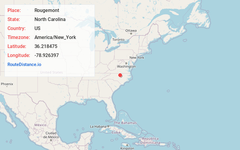
Full AddressRougemont, NC
-
Coordinates36.2184752, -78.926397
-
LocationRougemont , North Carolina , US
-
TimezoneAmerica/New_York
-
Current Local Time5:45:01 PM America/New_YorkSaturday, June 21, 2025
-
Page Views0
About Rougemont
Rougemont is an unincorporated community and census-designated place in Durham and Person counties, North Carolina, United States. The population of the CDP was 978 at the 2010 census. An act to incorporate Rougemont as a town was introduced to the North Carolina General Assembly in 2011.


Nearby Places
Found 10 places within 50 miles

Butner
11.2 mi
18.0 km
Butner, NC
Get directions

Roxboro
12.5 mi
20.1 km
Roxboro, NC
Get directions

Hillsborough
13.8 mi
22.2 km
Hillsborough, NC 27278
Get directions

Creedmoor
15.0 mi
24.1 km
Creedmoor, NC 27522
Get directions

Durham
15.5 mi
24.9 km
Durham, NC
Get directions

Oxford
19.8 mi
31.9 km
Oxford, NC 27565
Get directions

Mebane
20.9 mi
33.6 km
Mebane, NC
Get directions

Chapel Hill
22.3 mi
35.9 km
Chapel Hill, NC
Get directions

Carrboro
22.9 mi
36.9 km
Carrboro, NC
Get directions

Green Level
24.6 mi
39.6 km
Green Level, NC 27217
Get directions
Location Links
Local Weather
Weather Information
Coming soon!
Location Map
Static map view of Rougemont, North Carolina
Browse Places by Distance
Places within specific distances from Rougemont
Short Distances
Long Distances
Click any distance to see all places within that range from Rougemont. Distances shown in miles (1 mile ≈ 1.61 kilometers).