Distance to Rover, Arkansas

Calculating Your Route
Just a moment while we process your request...
Location Information
-
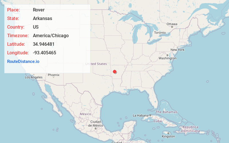
Full AddressRover, AR 72860
-
Coordinates34.9464811, -93.4054648
-
LocationRover , Arkansas , US
-
TimezoneAmerica/Chicago
-
Current Local Time10:06:36 AM America/ChicagoMonday, June 23, 2025
-
Page Views0
About Rover
Rover is an unincorporated community and census-designated place in Yell County, Arkansas, United States. Rover is located on Arkansas Highway 28, 6.5 miles west-southwest of Plainview. Rover has a post office with ZIP code 72860. It was first listed as a CDP in the 2020 census with a population of 159.
Nearby Places
Found 10 places within 50 miles

Plainview
6.9 mi
11.1 km
Plainview, AR 72857
Get directions

Danville
7.5 mi
12.1 km
Danville, AR
Get directions

Belleville
10.4 mi
16.7 km
Belleville, AR 72824
Get directions

Ola
11.9 mi
19.2 km
Ola, AR 72853
Get directions
Havana
13.3 mi
21.4 km
Havana, AR 72842
Get directions
Casa
20.9 mi
33.6 km
Casa, AR 72025
Get directions

Blue Mountain
21.5 mi
34.6 km
Blue Mountain, AR
Get directions

New Blaine
23.7 mi
38.1 km
New Blaine, AR
Get directions

Dardanelle
23.8 mi
38.3 km
Dardanelle, AR 72834
Get directions

Magazine
26.7 mi
43.0 km
Magazine, AR 72943
Get directions
Location Links
Local Weather
Weather Information
Coming soon!
Location Map
Static map view of Rover, Arkansas
Browse Places by Distance
Places within specific distances from Rover
Short Distances
Long Distances
Click any distance to see all places within that range from Rover. Distances shown in miles (1 mile ≈ 1.61 kilometers).