Distance to Ola, Arkansas

Calculating Your Route
Just a moment while we process your request...
Location Information
-
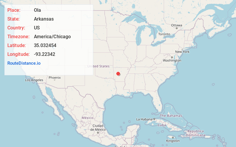
Full AddressOla, AR 72853
-
Coordinates35.0324535, -93.22342
-
LocationOla , Arkansas , US
-
TimezoneAmerica/Chicago
-
Current Local Time2:25:24 AM America/ChicagoTuesday, May 20, 2025
-
Page Views0
About Ola
Ola is a city in Yell County, Arkansas, United States. The population was 1,281 at the 2010 census. It is roughly 15 miles south of the Russellville Metropolitan area.
As of 2004 it serves as a commercial center in Yell County.

Nearby Places
Found 10 places within 50 miles

Danville
9.7 mi
15.6 km
Danville, AR
Get directions

Dardanelle
13.7 mi
22.0 km
Dardanelle, AR 72834
Get directions

Russellville
17.7 mi
28.5 km
Russellville, AR
Get directions

Pottsville
18.2 mi
29.3 km
Pottsville, AR
Get directions

London
20.7 mi
33.3 km
London, AR
Get directions

Atkins
21.7 mi
34.9 km
Atkins, AR
Get directions

Perryville
24.0 mi
38.6 km
Perryville, AR 72126
Get directions

Oppelo
26.2 mi
42.2 km
Oppelo, AR 72110
Get directions

Dover
26.3 mi
42.3 km
Dover, AR
Get directions

Morrilton
28.4 mi
45.7 km
Morrilton, AR 72110
Get directions
Location Links
Local Weather
Weather Information
Coming soon!
Location Map
Static map view of Ola, Arkansas
Browse Places by Distance
Places within specific distances from Ola
Short Distances
Long Distances
Click any distance to see all places within that range from Ola. Distances shown in miles (1 mile ≈ 1.61 kilometers).