Distance to Rowley, Iowa

Calculating Your Route
Just a moment while we process your request...
Location Information
-
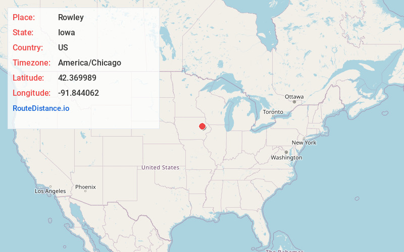
Full AddressRowley, IA 52329
-
Coordinates42.3699889, -91.8440621
-
LocationRowley , Iowa , US
-
TimezoneAmerica/Chicago
-
Current Local Time7:57:31 AM America/ChicagoThursday, May 29, 2025
-
Page Views0
About Rowley
Rowley is a city in Buchanan County, Iowa, United States. The population was 270 at the time of the 2020 census.
Nearby Places
Found 10 places within 50 miles

Quasqueton
4.6 mi
7.4 km
Quasqueton, IA
Get directions

Walker
6.6 mi
10.6 km
Walker, IA 52352
Get directions

Independence
7.2 mi
11.6 km
Independence, IA 50644
Get directions

Winthrop
9.1 mi
14.6 km
Winthrop, IA 50682
Get directions
Urbana
10.2 mi
16.4 km
Urbana, IA
Get directions

Center Point
12.7 mi
20.4 km
Center Point, IA 52213
Get directions
Jesup
13.4 mi
21.6 km
Jesup, IA 50648
Get directions

Vinton
16.8 mi
27.0 km
Vinton, IA 52349
Get directions
Coggon
17.2 mi
27.7 km
Coggon, IA 52218
Get directions

Hazleton
17.4 mi
28.0 km
Hazleton, IA 50641
Get directions
Location Links
Local Weather
Weather Information
Coming soon!
Location Map
Static map view of Rowley, Iowa
Browse Places by Distance
Places within specific distances from Rowley
Short Distances
Long Distances
Click any distance to see all places within that range from Rowley. Distances shown in miles (1 mile ≈ 1.61 kilometers).