Distance to Roxbury, Connecticut

Calculating Your Route
Just a moment while we process your request...
Location Information
-
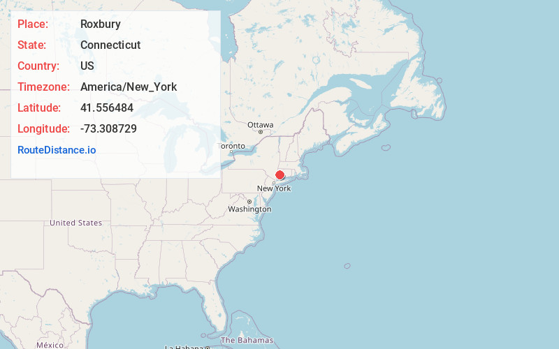
Full AddressRoxbury, CT
-
Coordinates41.5564843, -73.3087285
-
LocationRoxbury , Connecticut , US
-
TimezoneAmerica/New_York
-
Current Local Time10:55:55 PM America/New_YorkTuesday, June 3, 2025
-
Website
-
Page Views0
About Roxbury
Roxbury is a town in Litchfield County, Connecticut, United States. The population was 2,260 at the 2020 census. The town is located 65 miles northeast of New York City, and is part of the Northwest Hills Planning Region.


Nearby Places
Found 10 places within 50 miles

Roxbury Station
1.2 mi
1.9 km
Roxbury Station, Roxbury, CT 06783
Get directions

Bridgewater
3.3 mi
5.3 km
Bridgewater, CT 06752
Get directions
Hotchkissville Historic District
4.8 mi
7.7 km
Hotchkissville Historic District, Woodbury, CT 06798
Get directions

Washington
5.1 mi
8.2 km
Washington, CT
Get directions

Woodbury
5.2 mi
8.4 km
Woodbury, CT 06798
Get directions
Bell Hill
5.2 mi
8.4 km
Bell Hill, Washington, CT 06793
Get directions

New Milford
5.4 mi
8.7 km
New Milford, CT
Get directions
Lanesville
6.1 mi
9.8 km
Lanesville, New Milford, CT 06776
Get directions
Indian Field
6.1 mi
9.8 km
Indian Field, New Milford, CT 06776
Get directions
Hickory Haven
6.5 mi
10.5 km
Hickory Haven, New Milford, CT 06776
Get directions
Location Links
Local Weather
Weather Information
Coming soon!
Location Map
Static map view of Roxbury, Connecticut
Browse Places by Distance
Places within specific distances from Roxbury
Short Distances
Long Distances
Click any distance to see all places within that range from Roxbury. Distances shown in miles (1 mile ≈ 1.61 kilometers).