Distance to Roxbury, Vermont

Calculating Your Route
Just a moment while we process your request...
Location Information
-
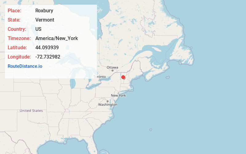
Full AddressRoxbury, VT
-
Coordinates44.0939388, -72.7329823
-
LocationRoxbury , Vermont , US
-
TimezoneAmerica/New_York
-
Current Local Time9:53:57 AM America/New_YorkThursday, July 3, 2025
-
Page Views0
About Roxbury
Roxbury is a town in Washington County, Vermont, United States, created by Vermont charter on August 6, 1781. The population was 678 at the 2020 census.


Nearby Places
Found 10 places within 50 miles

Northfield
5.4 mi
8.7 km
Northfield, VT
Get directions

Warren
6.2 mi
10.0 km
Warren, VT
Get directions

Waitsfield
7.2 mi
11.6 km
Waitsfield, VT
Get directions

Brookfield
7.4 mi
11.9 km
Brookfield, VT
Get directions

Fayston
9.5 mi
15.3 km
Fayston, VT
Get directions

Williamstown
9.7 mi
15.6 km
Williamstown, VT
Get directions

Moretown
10.9 mi
17.5 km
Moretown, VT
Get directions

Berlin
11.1 mi
17.9 km
Berlin, VT
Get directions

Randolph
12.2 mi
19.6 km
Randolph, VT
Get directions

Lincoln
13.1 mi
21.1 km
Lincoln, VT
Get directions
Location Links
Local Weather
Weather Information
Coming soon!
Location Map
Static map view of Roxbury, Vermont
Browse Places by Distance
Places within specific distances from Roxbury
Short Distances
Long Distances
Click any distance to see all places within that range from Roxbury. Distances shown in miles (1 mile ≈ 1.61 kilometers).