Distance to Williamstown, Vermont

Calculating Your Route
Just a moment while we process your request...
Location Information
-
Full AddressWilliamstown, VT
-
Coordinates44.1217292, -72.5414937
-
LocationWilliamstown , Vermont , US
-
TimezoneAmerica/New_York
-
Current Local Time1:27:17 AM America/New_YorkFriday, June 20, 2025
-
Page Views1
About Williamstown
Williamstown is a town in Orange County, Vermont, United States. The population was 3,515 at the 2020 census, making it the second largest municipality in the county.

Nearby Places
Found 10 places within 50 miles

Barre
5.5 mi
8.9 km
Barre, VT 05641
Get directions

Northfield
6.0 mi
9.7 km
Northfield, VT
Get directions

Montpelier
9.7 mi
15.6 km
Montpelier, VT 05602
Get directions

Randolph
14.9 mi
24.0 km
Randolph, VT
Get directions

Waterbury
18.6 mi
29.9 km
Waterbury, VT
Get directions

Haverhill
24.5 mi
39.4 km
Haverhill, NH
Get directions

Stowe
24.8 mi
39.9 km
Stowe, VT 05672
Get directions

Richmond
29.7 mi
47.8 km
Richmond, VT
Get directions

Morristown
30.4 mi
48.9 km
Morristown, VT
Get directions

Norwich
30.4 mi
48.9 km
Norwich, VT
Get directions
Location Links
Local Weather
Weather Information
Coming soon!
Location Map
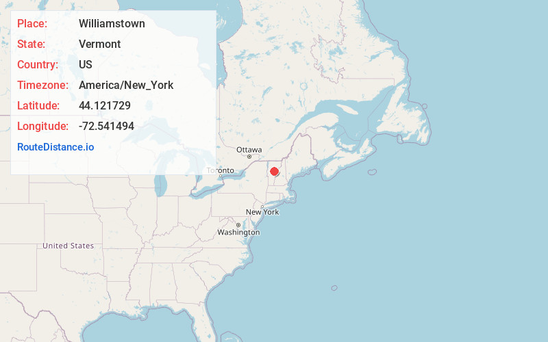
Static map view of Williamstown, Vermont
Browse Places by Distance
Places within specific distances from Williamstown
Short Distances
Long Distances
Click any distance to see all places within that range from Williamstown. Distances shown in miles (1 mile ≈ 1.61 kilometers).