Distance to Roxbury, New Hampshire

Calculating Your Route
Just a moment while we process your request...
Location Information
-
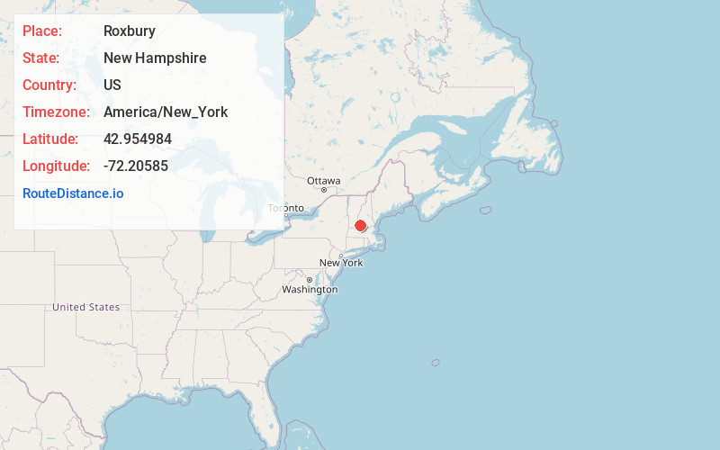
Full AddressRoxbury, NH
-
Coordinates42.9549844, -72.20585
-
LocationRoxbury , New Hampshire , US
-
TimezoneAmerica/New_York
-
Current Local Time6:54:20 AM America/New_YorkFriday, May 30, 2025
-
Page Views0
About Roxbury
Roxbury is a town in Cheshire County, New Hampshire, United States. The population was 220 at the 2020 census.
Nearby Places
Found 10 places within 50 miles

Marlborough
3.5 mi
5.6 km
Marlborough, NH
Get directions

Keene
3.9 mi
6.3 km
Keene, NH
Get directions

Sullivan
4.1 mi
6.6 km
Sullivan, NH
Get directions

Nelson
4.6 mi
7.4 km
Nelson, NH 03457
Get directions

Harrisville
5.6 mi
9.0 km
Harrisville, NH
Get directions

Swanzey
6.7 mi
10.8 km
Swanzey, NH
Get directions
Gilsum
7.1 mi
11.4 km
Gilsum, NH
Get directions
Surry
7.3 mi
11.7 km
Surry, NH
Get directions

Dublin
8.0 mi
12.9 km
Dublin, NH
Get directions

Troy
8.9 mi
14.3 km
Troy, NH
Get directions
Location Links
Local Weather
Weather Information
Coming soon!
Location Map
Static map view of Roxbury, New Hampshire
Browse Places by Distance
Places within specific distances from Roxbury
Short Distances
Long Distances
Click any distance to see all places within that range from Roxbury. Distances shown in miles (1 mile ≈ 1.61 kilometers).