Distance to Ruby Falls, Tennessee

Calculating Your Route
Just a moment while we process your request...
Location Information
-
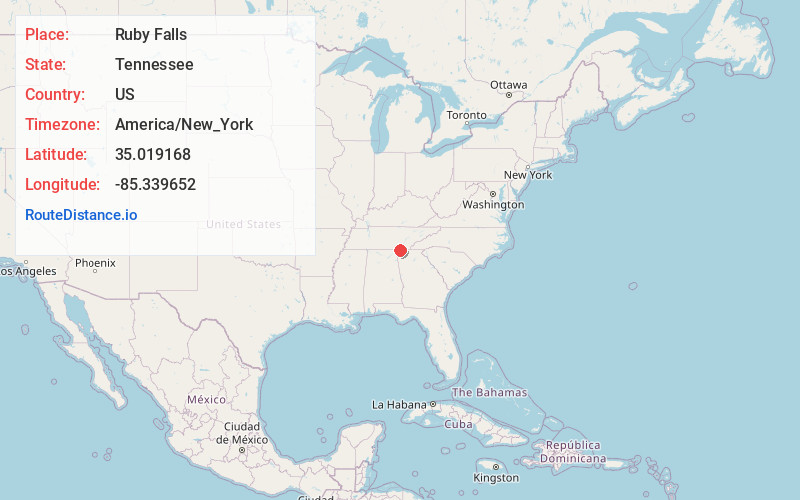
Full AddressRuby Falls, Chattanooga, TN 37409
-
Coordinates35.0191682, -85.339652
-
LocationChattanooga , Tennessee , US
-
TimezoneAmerica/New_York
-
Current Local Time3:41:14 PM America/New_YorkTuesday, June 24, 2025
-
Page Views0
About Ruby Falls
145-foot-tall underground waterfall inside a limestone cavern in Lookout Mountain.


Nearby Places
Found 10 places within 50 miles

Lookout Mountain
1.8 mi
2.9 km
Lookout Mountain, TN
Get directions

Chattanooga
2.5 mi
4.0 km
Chattanooga, TN
Get directions

Foust
2.9 mi
4.7 km
Foust, Chattanooga, TN 37407
Get directions

Lookout Mountain
3.1 mi
5.0 km
Lookout Mountain, GA 30750
Get directions
Blowing Spring
3.1 mi
5.0 km
Blowing Spring, GA 30725
Get directions
Woodland Hills
3.2 mi
5.1 km
Woodland Hills, GA 30741
Get directions

Rossville
3.9 mi
6.3 km
Rossville, GA 30741
Get directions
Midvale
5.1 mi
8.2 km
Midvale, Red Bank, TN 37415
Get directions
Fantasy Hills
5.1 mi
8.2 km
Fantasy Hills, GA 30725
Get directions
Mission Oaks
5.1 mi
8.2 km
Mission Oaks, East Ridge, TN 37412
Get directions
Location Links
Local Weather
Weather Information
Coming soon!
Location Map
Static map view of Ruby Falls, Tennessee
Browse Places by Distance
Places within specific distances from Ruby Falls
Short Distances
Long Distances
Click any distance to see all places within that range from Ruby Falls. Distances shown in miles (1 mile ≈ 1.61 kilometers).