Distance to Ruby, Washington

Calculating Your Route
Just a moment while we process your request...
Location Information
-
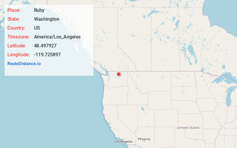
Full AddressRuby, WA 98840
-
Coordinates48.4979271, -119.7258968
-
LocationRuby , Washington , US
-
TimezoneAmerica/Los_Angeles
-
Current Local Time1:05:08 PM America/Los_AngelesMonday, June 30, 2025
-
Page Views0
About Ruby
Ruby is an American ghost town in Okanogan County, Washington State.
Silver was discovered in 1886 on the slopes of Ruby Mountain and Peacock Hill. By 1887 a mining district was created and a camp grew up beside Salmon Creek. This camp was called Ruby, or Ruby City.
Ruby had a population of 700.


Nearby Places
Found 10 places within 50 miles

Conconully
4.3 mi
6.9 km
Conconully, WA
Get directions

Riverside
10.1 mi
16.3 km
Riverside, WA
Get directions

Omak
10.9 mi
17.5 km
Omak, WA
Get directions

Okanogan
11.5 mi
18.5 km
Okanogan, WA 98840
Get directions

North Omak
13.4 mi
21.6 km
North Omak, WA
Get directions

Malott
14.9 mi
24.0 km
Malott, WA
Get directions

Tonasket
19.4 mi
31.2 km
Tonasket, WA 98855
Get directions

Twisp
20.4 mi
32.8 km
Twisp, WA 98856
Get directions

Winthrop
21.1 mi
34.0 km
Winthrop, WA 98862
Get directions

Loomis
22.7 mi
36.5 km
Loomis, WA
Get directions
Location Links
Local Weather
Weather Information
Coming soon!
Location Map
Static map view of Ruby, Washington
Browse Places by Distance
Places within specific distances from Ruby
Short Distances
Long Distances
Click any distance to see all places within that range from Ruby. Distances shown in miles (1 mile ≈ 1.61 kilometers).