Distance to Malott, Washington

Calculating Your Route
Just a moment while we process your request...
Location Information
-
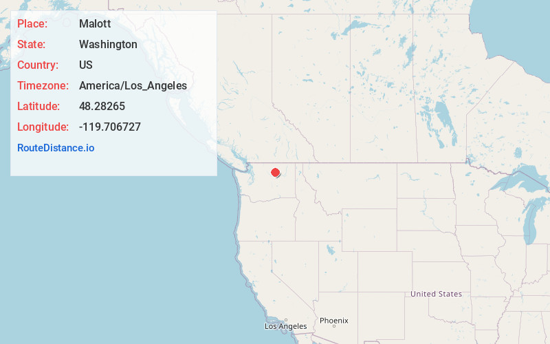
Full AddressMalott, WA
-
Coordinates48.2826495, -119.7067271
-
LocationMalott , Washington , US
-
TimezoneAmerica/Los_Angeles
-
Current Local Time8:22:04 AM America/Los_AngelesMonday, June 2, 2025
-
Page Views0
About Malott
Malott is a census-designated place in Okanogan County, Washington, United States, within the Greater Omak Area. The population was 487 at the 2010 census.
Malott sits on the western bank of the Okanogan River and has bridge access to U.S. Route 97. It has a general store, bar and church.


Nearby Places
Found 10 places within 50 miles

Okanogan
7.8 mi
12.6 km
Okanogan, WA 98840
Get directions

Omak
12.1 mi
19.5 km
Omak, WA
Get directions

Brewster
13.3 mi
21.4 km
Brewster, WA 98812
Get directions

Bridgeport
19.0 mi
30.6 km
Bridgeport, WA 98813
Get directions

Twisp
19.9 mi
32.0 km
Twisp, WA 98856
Get directions

Chelan
33.7 mi
54.2 km
Chelan, WA 98816
Get directions

Manson
34.5 mi
55.5 km
Manson, WA 98831
Get directions

Grand Coulee
39.9 mi
64.2 km
Grand Coulee, WA 99133
Get directions

Coulee Dam
39.9 mi
64.2 km
Coulee Dam, WA
Get directions

Oroville
47.0 mi
75.6 km
Oroville, WA 98844
Get directions
Location Links
Local Weather
Weather Information
Coming soon!
Location Map
Static map view of Malott, Washington
Browse Places by Distance
Places within specific distances from Malott
Short Distances
Long Distances
Click any distance to see all places within that range from Malott. Distances shown in miles (1 mile ≈ 1.61 kilometers).