Distance to Ruby, Louisiana

Calculating Your Route
Just a moment while we process your request...
Location Information
-
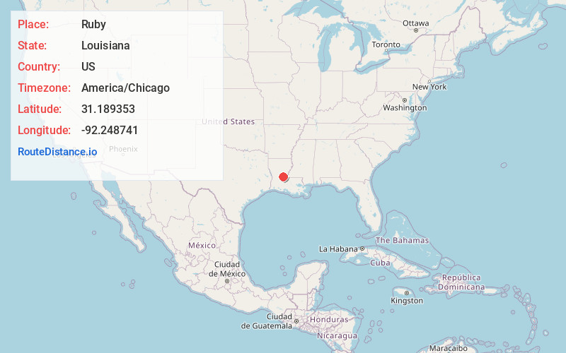
Full AddressRuby, LA 71360
-
Coordinates31.1893529, -92.248741
-
LocationRuby , Louisiana , US
-
TimezoneAmerica/Chicago
-
Current Local Time12:27:23 AM America/ChicagoMonday, June 30, 2025
-
Page Views0
About Ruby
Ruby is an unincorporated community in Rapides Parish, Louisiana, United States. It is a populated place located within the Parish Governing Authority District C. The community is located on Louisiana Highway 454, 14.3 miles southeast of Alexandria.
Nearby Places
Found 10 places within 50 miles

Poland
2.2 mi
3.5 km
Poland, LA 71302
Get directions
Center Point
4.7 mi
7.6 km
Center Point, LA 71323
Get directions
Echo
5.5 mi
8.9 km
Echo, LA
Get directions
Fifth Ward
6.1 mi
9.8 km
Fifth Ward, LA 71351
Get directions
Latanier
6.4 mi
10.3 km
Latanier, LA 71346
Get directions
Kolin
7.8 mi
12.6 km
Kolin, LA 71360
Get directions
Barron
10.2 mi
16.4 km
Barron, LA 71328
Get directions
Moreland
10.3 mi
16.6 km
Moreland, LA 71302
Get directions

Lecompte
11.1 mi
17.9 km
Lecompte, LA
Get directions

Marksville
11.6 mi
18.7 km
Marksville, LA
Get directions
Location Links
Local Weather
Weather Information
Coming soon!
Location Map
Static map view of Ruby, Louisiana
Browse Places by Distance
Places within specific distances from Ruby
Short Distances
Long Distances
Click any distance to see all places within that range from Ruby. Distances shown in miles (1 mile ≈ 1.61 kilometers).