Distance to Rudyard, Montana

Calculating Your Route
Just a moment while we process your request...
Location Information
-
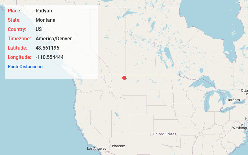
Full AddressRudyard, MT 59540
-
Coordinates48.5611961, -110.5544442
-
LocationRudyard , Montana , US
-
TimezoneAmerica/Denver
-
Current Local Time10:46:19 AM America/DenverWednesday, June 18, 2025
-
Page Views0
About Rudyard
Rudyard is an unincorporated community and census-designated place in Hill County, Montana, United States. The population was 258 at the 2010 census.
The community was established as a switching station on the Great Northern Railway. The post office opened in 1910. It is named after author Rudyard Kipling.

Nearby Places
Found 9 places within 50 miles

Chester
19.2 mi
30.9 km
Chester, MT 59522
Get directions

Big Sandy
33.3 mi
53.6 km
Big Sandy, MT 59520
Get directions

Beaver Creek
34.9 mi
56.2 km
Beaver Creek, MT 59501
Get directions

Azure
38.4 mi
61.8 km
Azure, MT 59521
Get directions
Sangrey
39.1 mi
62.9 km
Sangrey, MT 59521
Get directions

Havre
39.8 mi
64.1 km
Havre, MT 59501
Get directions

Havre North
40.5 mi
65.2 km
Havre North, MT 59501
Get directions
St Pierre
40.5 mi
65.2 km
St Pierre, MT 59521
Get directions

Parker School
43.2 mi
69.5 km
Parker School, MT 59521
Get directions
Location Links
Local Weather
Weather Information
Coming soon!
Location Map
Static map view of Rudyard, Montana
Browse Places by Distance
Places within specific distances from Rudyard
Short Distances
Long Distances
Click any distance to see all places within that range from Rudyard. Distances shown in miles (1 mile ≈ 1.61 kilometers).