Distance to Rufus, Kentucky
Location Information
-
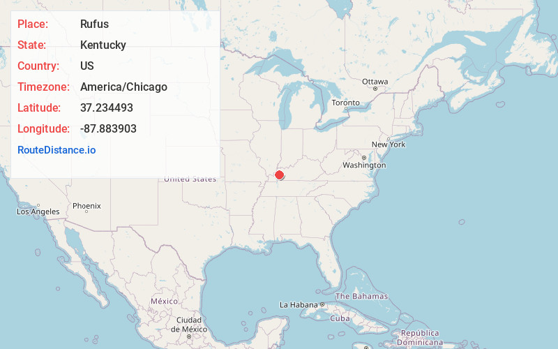
Full AddressRufus, KY 42445
-
Coordinates37.2344931, -87.8839028
-
LocationKentucky , US
-
TimezoneAmerica/Chicago
-
Current Local Time5:41:35 PM America/ChicagoFriday, May 16, 2025
-
Page Views0
Nearby Places
Found 10 places within 50 miles

Farmersville
2.5 mi
4.0 km
Farmersville, KY 42445
Get directions
Flat Rock
4.5 mi
7.2 km
Flat Rock, KY 42411
Get directions
Tom Gray Ford
5.8 mi
9.3 km
Tom Gray Ford, KY 42445
Get directions
Caldwell County
5.9 mi
9.5 km
Caldwell County, KY
Get directions
Kirkwood Springs
6.7 mi
10.8 km
Kirkwood Springs, KY 42408
Get directions
Shady Grove
7.1 mi
11.4 km
Shady Grove, KY 42064
Get directions
Crider
7.3 mi
11.7 km
Crider, KY 42445
Get directions
Crowtown
7.4 mi
11.9 km
Crowtown, Princeton, KY 42445
Get directions
Piney Fork
7.7 mi
12.4 km
Piney Fork, KY 42064
Get directions
Lewistown
7.8 mi
12.6 km
Lewistown, KY 42445
Get directions
Location Links
Local Weather
Weather Information
Coming soon!
Location Map
Static map view of Rufus, Kentucky
Browse Places by Distance
Places within specific distances from Rufus
Short Distances
Long Distances
Click any distance to see all places within that range from Rufus. Distances shown in miles (1 mile ≈ 1.61 kilometers).