Distance to Rustad, Minnesota

Calculating Your Route
Just a moment while we process your request...
Location Information
-
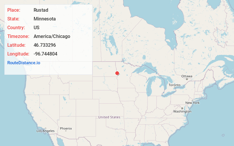
Full AddressRustad, MN 56560
-
Coordinates46.7332962, -96.7448037
-
LocationRustad , Minnesota , US
-
TimezoneAmerica/Chicago
-
Current Local Time3:01:32 AM America/ChicagoThursday, June 19, 2025
-
Page Views0
About Rustad
Rustad is an unincorporated community in Clay County, in the U.S. state of Minnesota.
Nearby Places
Found 10 places within 50 miles

Briarwood
4.4 mi
7.1 km
Briarwood, ND 58104
Get directions

Comstock
5.1 mi
8.2 km
Comstock, MN
Get directions
Oxbow
5.1 mi
8.2 km
Oxbow, ND 58047
Get directions

Sabin
5.4 mi
8.7 km
Sabin, MN 56580
Get directions
Frontier
6.2 mi
10.0 km
Frontier, ND 58104
Get directions
Prairie Rose
7.2 mi
11.6 km
Prairie Rose, ND 58104
Get directions

Horace
7.7 mi
12.4 km
Horace, ND
Get directions

Baker
9.2 mi
14.8 km
Baker, MN 56580
Get directions

Moorhead
9.8 mi
15.8 km
Moorhead, MN
Get directions

Fargo
10.2 mi
16.4 km
Fargo, ND
Get directions
Location Links
Local Weather
Weather Information
Coming soon!
Location Map
Static map view of Rustad, Minnesota
Browse Places by Distance
Places within specific distances from Rustad
Short Distances
Long Distances
Click any distance to see all places within that range from Rustad. Distances shown in miles (1 mile ≈ 1.61 kilometers).