Distance to Ruthville, North Dakota

Calculating Your Route
Just a moment while we process your request...
Location Information
-
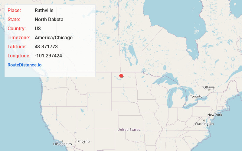
Full AddressRuthville, ND 58703
-
Coordinates48.371773, -101.297424
-
LocationRuthville , North Dakota , US
-
TimezoneAmerica/Chicago
-
Current Local Time6:08:04 PM America/ChicagoSunday, June 1, 2025
-
Page Views0
About Ruthville
Ruthville is a census-designated place and unincorporated community in Ward County, North Dakota, United States. Its population was 191 as of the 2010 census. The town was named after Ruth Mackenroth during the Depression, and consisted of a grocery Store, and gas station for area farmers.

Nearby Places
Found 10 places within 50 miles

Minot Air Force Base
3.6 mi
5.8 km
Minot Air Force Base, ND
Get directions

Burlington
9.0 mi
14.5 km
Burlington, ND
Get directions

Minot
9.6 mi
15.4 km
Minot, ND
Get directions

Glenburn
10.4 mi
16.7 km
Glenburn, ND 58740
Get directions

Surrey
12.0 mi
19.3 km
Surrey, ND
Get directions

Des Lacs
14.5 mi
23.3 km
Des Lacs, ND 58733
Get directions
Logan
16.8 mi
27.0 km
Logan, ND 58701
Get directions
Lansford
18.1 mi
29.1 km
Lansford, ND
Get directions

Carpio
19.8 mi
31.9 km
Carpio, ND 58725
Get directions
Berthold
20.6 mi
33.2 km
Berthold, ND 58718
Get directions
Location Links
Local Weather
Weather Information
Coming soon!
Location Map
Static map view of Ruthville, North Dakota
Browse Places by Distance
Places within specific distances from Ruthville
Short Distances
Long Distances
Click any distance to see all places within that range from Ruthville. Distances shown in miles (1 mile ≈ 1.61 kilometers).