Distance to Rutland Township, Michigan

Calculating Your Route
Just a moment while we process your request...
Location Information
-
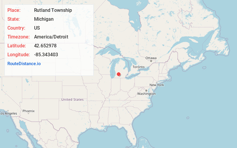
Full AddressRutland Township, MI
-
Coordinates42.6529782, -85.3434029
-
LocationRutland Township , Michigan , US
-
TimezoneAmerica/Detroit
-
Current Local Time3:18:47 AM America/DetroitTuesday, July 1, 2025
-
Page Views0
About Rutland Township
Rutland Charter Township is a charter township of Barry County in the U.S. state of Michigan. The population was 4,136 at the 2020 census.
Nearby Places
Found 10 places within 50 miles

Hastings
2.7 mi
4.3 km
Hastings, MI 49058
Get directions

Irving Township
4.4 mi
7.1 km
Irving Township, MI
Get directions
Schultz
5.0 mi
8.0 km
Schultz, MI 49058
Get directions
Carlton Township
6.0 mi
9.7 km
Carlton Township, MI
Get directions
Qumby
6.6 mi
10.6 km
Qumby, Hastings Township, MI 49058
Get directions

Hope Township
6.9 mi
11.1 km
Hope Township, MI
Get directions

Middleville
7.3 mi
11.7 km
Middleville, MI 49333
Get directions

Cedar Creek
7.3 mi
11.7 km
Cedar Creek, Michigan
Get directions
Coats Grove
8.0 mi
12.9 km
Coats Grove, Castleton Township, MI 49058
Get directions
Freeport
8.0 mi
12.9 km
Freeport, MI 49325
Get directions
Location Links
Local Weather
Weather Information
Coming soon!
Location Map
Static map view of Rutland Township, Michigan
Browse Places by Distance
Places within specific distances from Rutland Township
Short Distances
Long Distances
Click any distance to see all places within that range from Rutland Township. Distances shown in miles (1 mile ≈ 1.61 kilometers).