Distance to Ryan, California
Location Information
-
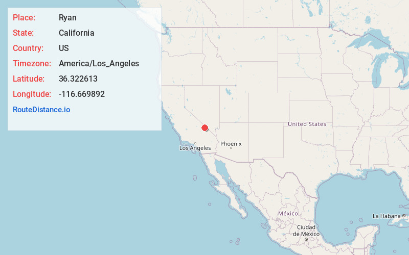
Full AddressRyan, CA
-
Coordinates36.3226129, -116.669892
-
LocationRyan , California , US
-
TimezoneAmerica/Los_Angeles
-
Current Local Time9:03:58 AM America/Los_AngelesFriday, May 16, 2025
-
Page Views0
About Ryan
Ryan is an unincorporated community in Inyo County, California that is now privately owned and stewarded by the Death Valley Conservancy. A former mining community, company town, and seasonal hotel, it is now under careful restoration and preservation.

Nearby Places
Found 10 places within 50 miles

Badwater
8.4 mi
13.5 km
Badwater, CA
Get directions

Scranton
12.9 mi
20.8 km
Scranton, CA 92328
Get directions

Furnace Creek
14.3 mi
23.0 km
Furnace Creek, CA 92328
Get directions
Cow Creek
16.5 mi
26.6 km
Cow Creek, California 92328
Get directions
Park Village
16.6 mi
26.7 km
Park Village, CA 92328
Get directions
Evelyn
23.2 mi
37.3 km
Evelyn, CA
Get directions

Harrisburg
24.5 mi
39.4 km
Harrisburg, CA
Get directions

Amargosa Valley
26.8 mi
43.1 km
Amargosa Valley, NV 89020
Get directions
Ashton
27.5 mi
44.3 km
Ashton, NV 89020
Get directions

Panamint
27.6 mi
44.4 km
Panamint, CA
Get directions
Location Links
Local Weather
Weather Information
Coming soon!
Location Map
Static map view of Ryan, California
Browse Places by Distance
Places within specific distances from Ryan
Short Distances
Long Distances
Click any distance to see all places within that range from Ryan. Distances shown in miles (1 mile ≈ 1.61 kilometers).