Distance to Ryderwood, Washington

Calculating Your Route
Just a moment while we process your request...
Location Information
-
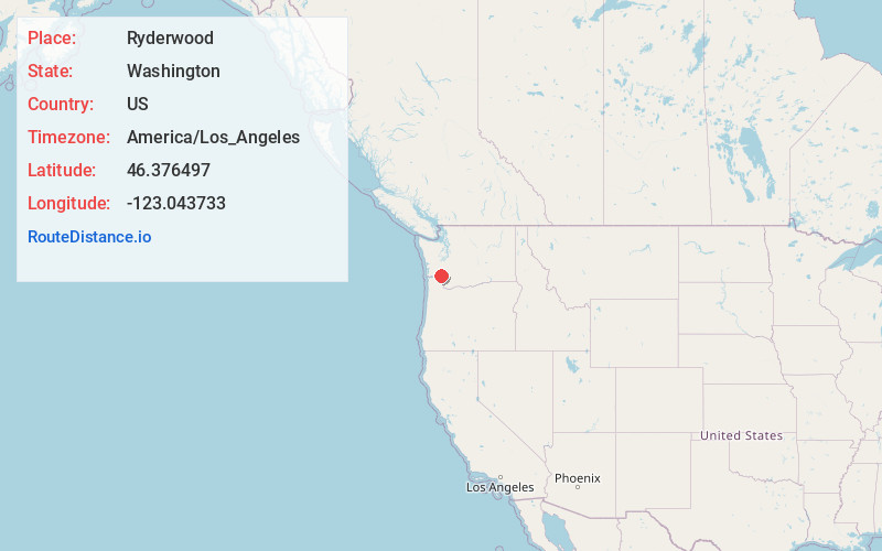
Full AddressRyderwood, WA 98581
-
Coordinates46.3764967, -123.0437326
-
LocationRyderwood , Washington , US
-
TimezoneAmerica/Los_Angeles
-
Current Local Time10:43:02 AM America/Los_AngelesThursday, June 12, 2025
-
Page Views0
About Ryderwood
Ryderwood is a census-designated place in Cowlitz County, Washington, west of the city of Vader. Known locally as the "Village in the Woods", the town began in 1923 as a logging settlement and considered itself the "World's Largest Logging Town". Ryderwood became a retirement community in the 1950s.


Nearby Places
Found 10 places within 50 miles

Vader
4.4 mi
7.1 km
Vader, WA
Get directions

Winlock
9.4 mi
15.1 km
Winlock, WA 98596
Get directions

Castle Rock
9.6 mi
15.4 km
Castle Rock, WA 98611
Get directions

Toledo
10.4 mi
16.7 km
Toledo, WA 98591
Get directions

Longview Heights
14.2 mi
22.9 km
Longview Heights, WA 98632
Get directions

Napavine
15.1 mi
24.3 km
Napavine, WA
Get directions
Rocky Point
15.5 mi
24.9 km
Rocky Point, WA 98626
Get directions

Kelso
17.1 mi
27.5 km
Kelso, WA
Get directions

Longview
17.2 mi
27.7 km
Longview, WA
Get directions

Pe Ell
18.0 mi
29.0 km
Pe Ell, WA
Get directions
Location Links
Local Weather
Weather Information
Coming soon!
Location Map
Static map view of Ryderwood, Washington
Browse Places by Distance
Places within specific distances from Ryderwood
Short Distances
Long Distances
Click any distance to see all places within that range from Ryderwood. Distances shown in miles (1 mile ≈ 1.61 kilometers).