Distance to Vader, Washington

Calculating Your Route
Just a moment while we process your request...
Location Information
-
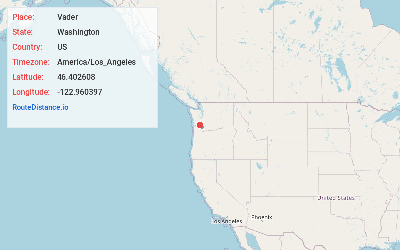
Full AddressVader, WA
-
Coordinates46.4026081, -122.9603966
-
LocationVader , Washington , US
-
TimezoneAmerica/Los_Angeles
-
Current Local Time4:33:29 AM America/Los_AngelesSunday, June 29, 2025
-
Page Views0
About Vader
Vader is a city in Lewis County, Washington, United States. The population was 629 at the 2020 census.


Nearby Places
Found 10 places within 50 miles

Winlock
6.2 mi
10.0 km
Winlock, WA 98596
Get directions

Castle Rock
9.2 mi
14.8 km
Castle Rock, WA 98611
Get directions

Napavine
12.1 mi
19.5 km
Napavine, WA
Get directions

Longview Heights
15.4 mi
24.8 km
Longview Heights, WA 98632
Get directions
Rocky Point
16.1 mi
25.9 km
Rocky Point, WA 98626
Get directions

Kelso
17.9 mi
28.8 km
Kelso, WA
Get directions

Chehalis
18.2 mi
29.3 km
Chehalis, WA 98532
Get directions

Longview
18.3 mi
29.5 km
Longview, WA
Get directions

Centralia
21.7 mi
34.9 km
Centralia, WA
Get directions

Rainier
21.7 mi
34.9 km
Rainier, OR 97048
Get directions
Location Links
Local Weather
Weather Information
Coming soon!
Location Map
Static map view of Vader, Washington
Browse Places by Distance
Places within specific distances from Vader
Short Distances
Long Distances
Click any distance to see all places within that range from Vader. Distances shown in miles (1 mile ≈ 1.61 kilometers).