Distance to and from Ryland, North Carolina
Ryland, NC 27980
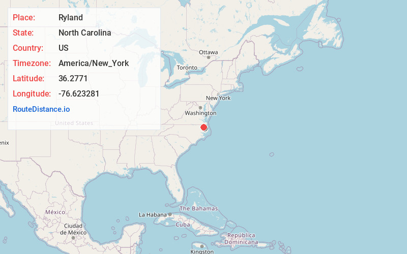
Ryland
North Carolina
US
America/New_York
Location Information
-
Full AddressRyland, NC 27980
-
Coordinates36.2771004, -76.6232805
-
LocationRyland , North Carolina , US
-
TimezoneAmerica/New_York
-
Current Local Time9:39:18 AM America/New_YorkSaturday, May 3, 2025
-
Page Views0
Directions to Nearest Cities
Nearby Places
Found 10 places within 50 miles

Icaria
1.5 mi
2.4 km
Icaria, Tyner, NC 27980
Get directions
Sign Pine
2.2 mi
3.5 km
Sign Pine, NC 27980
Get directions
Cannon Ferry
2.8 mi
4.5 km
Cannon Ferry, NC 27980
Get directions
Mt Rose
3.0 mi
4.8 km
Mt Rose, NC 27980
Get directions
Gliden
3.0 mi
4.8 km
Gliden, NC 27980
Get directions
Old Chapel Crossroads
4.3 mi
6.9 km
Old Chapel Crossroads, NC 27946
Get directions
Center Hill
4.3 mi
6.9 km
Center Hill, NC 27980
Get directions
Selwin
4.5 mi
7.2 km
Selwin, NC 27946
Get directions
Mill Crossroads
4.5 mi
7.2 km
Mill Crossroads, NC 27932
Get directions
Mintonsville
4.6 mi
7.4 km
Mintonsville, NC 27946
Get directions
Icaria
1.5 mi
2.4 km
Icaria, Tyner, NC 27980
Sign Pine
2.2 mi
3.5 km
Sign Pine, NC 27980
Cannon Ferry
2.8 mi
4.5 km
Cannon Ferry, NC 27980
Mt Rose
3.0 mi
4.8 km
Mt Rose, NC 27980
Gliden
3.0 mi
4.8 km
Gliden, NC 27980
Old Chapel Crossroads
4.3 mi
6.9 km
Old Chapel Crossroads, NC 27946
Center Hill
4.3 mi
6.9 km
Center Hill, NC 27980
Selwin
4.5 mi
7.2 km
Selwin, NC 27946
Mill Crossroads
4.5 mi
7.2 km
Mill Crossroads, NC 27932
Mintonsville
4.6 mi
7.4 km
Mintonsville, NC 27946
Location Links
Local Weather
Weather Information
Coming soon!
Location Map
Static map view of Ryland, North Carolina
Browse Places by Distance
Places within specific distances from Ryland
Short Distances
Long Distances
Click any distance to see all places within that range from Ryland. Distances shown in miles (1 mile ≈ 1.61 kilometers).