Distance to Sign Pine, North Carolina

Calculating Your Route
Just a moment while we process your request...
Location Information
-
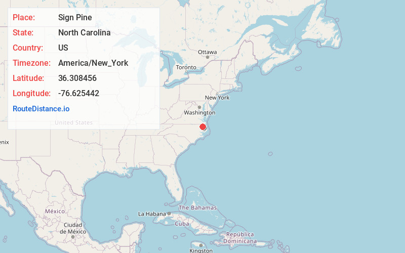
Full AddressSign Pine, NC 27980
-
Coordinates36.308456, -76.625442
-
LocationSign Pine , North Carolina , US
-
TimezoneAmerica/New_York
-
Current Local Time9:34:12 PM America/New_YorkTuesday, June 17, 2025
-
Page Views0
About Sign Pine
Sign Pine is an unincorporated community in Chowan County, North Carolina, United States. Sign Pine is located along North Carolina Highway 32, 17 miles north of Edenton.
Nearby Places
Found 10 places within 50 miles

Gliden
1.0 mi
1.6 km
Gliden, NC 27980
Get directions
Old Chapel Crossroads
2.1 mi
3.4 km
Old Chapel Crossroads, NC 27946
Get directions
Mintonsville
2.5 mi
4.0 km
Mintonsville, NC 27946
Get directions
Selwin
2.8 mi
4.5 km
Selwin, NC 27946
Get directions
Powell Crossroads
2.9 mi
4.7 km
Powell Crossroads, NC 27946
Get directions
Hobbsville
2.9 mi
4.7 km
Hobbsville, NC 27946
Get directions
Mitchells Fork
2.9 mi
4.7 km
Mitchells Fork, NC 27946
Get directions
Muddy Cross
3.8 mi
6.1 km
Muddy Cross, NC 27946
Get directions
Walton Crossroads
3.9 mi
6.3 km
Walton Crossroads, NC 27946
Get directions
Carter
4.7 mi
7.6 km
Carter, NC 27946
Get directions
Location Links
Local Weather
Weather Information
Coming soon!
Location Map
Static map view of Sign Pine, North Carolina
Browse Places by Distance
Places within specific distances from Sign Pine
Short Distances
Long Distances
Click any distance to see all places within that range from Sign Pine. Distances shown in miles (1 mile ≈ 1.61 kilometers).